
Eastern Tenerife
Volcán de Siete Fuentes
A small historic volcano near Izaña formed during Tenerife's 1704–1705 fissure eruption sequence, with multiple eruptive vents.
- Part of the 1704–1705 eruption sequence
- Multiple small volcanic vents
- High-altitude volcanic landscape near Izaña
About this volcanic site
Volcán de Siete Fuentes is a historic volcanic site in the highlands of Tenerife, near the Izaña Observatory area. It belongs to the series of eruptions that occurred across the island's central volcanic ridge in 1704–1705, leaving several small cones and fissure-related formations.
The Siete Fuentes eruption began at the end of December 1704 and formed part of a broader sequence also associated with the Fasnia and Arafo volcanic areas. Spain's Geological and Mining Institute (IGME) documents this multi-centre eruptive episode as a significant part of Tenerife's recent volcanic history.
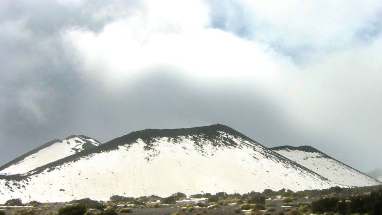
Unlike the iconic summit of Teide, this attraction is a smaller geological feature whose value lies in understanding how different vents can develop along a volcanic fissure. An archived photograph shows several of its eruptive mouths in unusual snowy conditions, an important reminder that the island's high elevations can look very different in winter.
This is an open volcanic landscape rather than a staffed visitor attraction. Verify lawful access, national-park or protected-area boundaries, weather and road conditions before any visit. Never assume an informal track is permitted, and do not treat the map point as a public entrance or parking area.
For another destination in the region, discover Corona Forestal Natural Park and La Crucita Mountain.
Visitor information
No verified managed visiting infrastructure or public access path. Check protected-area rules, safe parking and weather; the GPS marker is for the volcanic feature only.
Location
Explore nearby
Places close to Volcán de Siete Fuentes, sorted by distance.
Fasnia Volcano Historic Eruption Area
Teide & Central Tenerife
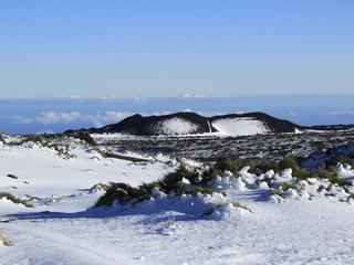
A historic eruption area on Tenerife’s eastern highlands associated with the 1704–1705 volcanic sequence.
Teide Observatory
Teide & Central Tenerife
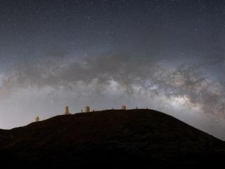
A major high-altitude astronomy site on Tenerife, part of the Canary Islands’ internationally important observatory network.
Corona Forestal Natural Park
Eastern Tenerife
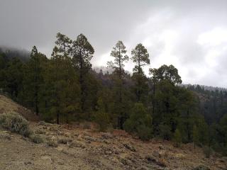
A vast protected belt of pine forest and volcanic mountains around Tenerife’s Teide highlands.
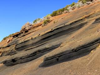
Montaña Limón Volcanic Cone
Teide & Central Tenerife
A small volcanic cone in Tenerife’s highland zone, part of the complex field of vents surrounding Teide.
Northern Tenerife
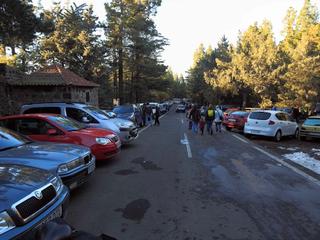
Ramón Caminero is an officially designated camping area (zona de acampada) within Parque Natural de Corona Forestal, in the municipality of La Orotava in northern Tenerife. It sits in a managed forest/natural setting typical of the island's authorised camping zones, which are overseen by the Cabildo de Tenerife. It is officially listed for tent and cabin camping. As with every zona de acampada in Tenerife, you need a free permit arranged in advance through the Cabildo (Tenerife ON), and stays are capped at a maximum of seven consecutive days. On-site facilities vary and are not guaranteed, so confirm current rules, availability and any fire or weather closures on the official channel before you travel.
Montaña Mostaza Volcanic Cone
Teide & Central Tenerife
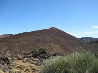
A compact volcanic cone in the Teide highlands that helps illustrate the many smaller vents surrounding the central summit complex.
El Portillo Botanical Garden
Teide & Central Tenerife
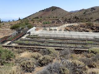
A high-altitude botanical garden inside Teide National Park dedicated to native flora, conservation and interpretation.
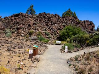
Garden of the El Portillo Visitor Center
Teide & Central Tenerife
A four-hectare botanical garden beside the El Portillo Visitor Centre, showcasing more than 75% of the higher-plant species found in Teide National Park.
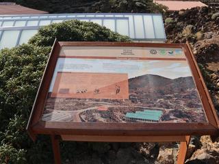
Teide & Central Tenerife
The main interpretation stop on Teide’s northeast side, with exhibits and nearby botanical displays focused on the national park’s volcanic landscape and high-altitude ecology.
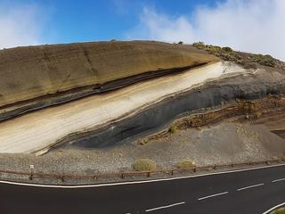
La Tarta Viewpoint
Teide & Central Tenerife
A famous roadside geological stop where multicoloured volcanic layers are exposed beside the TF-24 road to Teide.
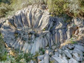
Piedra de la Rosa Viewpoint
Teide & Central Tenerife
A high mountain viewpoint with two outlooks, including views toward Teide and the island of La Palma in clear weather.
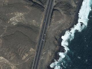
Fasnia and Güímar Ravine Natural Monument
Eastern Tenerife
A steep ravine cuts through southeastern Tenerife between Fasnia and Güímar, reaching the Atlantic at Playa del Topuerque.
Related places
 Nature & Forests
Corona Forestal Natural Park
A vast protected belt of pine forest and volcanic mountains around Tenerife’s Teide highlands.
 Towns & Villages
Fasnia
Fasnia is a town and a municipality in the eastern part of the Spanish island of Tenerife, one of the Canary Islands, and part of the province of Santa Cruz de Tenerife.
 Nature & Forests
La Crucita Mountain
La Crucita is a mountain in Tenerife’s eastern volcanic highlands. The nearby TF-24 corridor is known for upland viewpoints and changing mountain weather.