

 Planning
Best Scenic Drives & Viewpoints in Tenerife
A practical guide to Tenerife’s most rewarding scenic drives and viewpoints — from Teide’s volcanic highlands to Anaga’s cloud forests and the mountain roads of Teno and Masca.
Read guideTeide & Central Tenerife
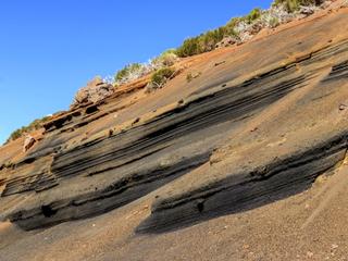
A famous roadside geological stop where multicoloured volcanic layers are exposed beside the TF-24 road to Teide.
La Tarta Viewpoint is named after the cake-like appearance of its layered volcanic deposits. Distinct bands of contrasting colours make the site one of the easiest places on Tenerife to see repeated eruptive episodes preserved in a road cutting.
The viewpoint is a useful reminder that Tenerife’s volcanic history is not a single eruption story: the island was built through many episodes separated by erosion, weathering and changing eruption styles.
Use the designated pull-off and stay behind barriers. The TF-24 can be cold, windy and foggy despite warm weather on the coast.
Places close to La Tarta Viewpoint, sorted by distance.
Teide & Central Tenerife
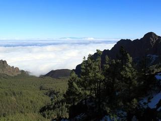
A high TF-24 viewpoint with sweeping views across eastern Tenerife and landscapes shaped by historic eruptions.

Eastern Tenerife
La Crucita is a mountain in Tenerife’s eastern volcanic highlands. The nearby TF-24 corridor is known for upland viewpoints and changing mountain weather.
Teide & Central Tenerife
A small volcanic cone in Tenerife’s highland zone, part of the complex field of vents surrounding Teide.
La Orotava · Northern Tenerife
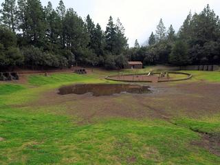
A designated forest camping area in the forest above Aguamansa (La Orotava). Camping in Tenerife is generally restricted to official campsites and designated forest camping zones (zonas de acampada) managed by the Cabildo de Tenerife, which normally require a permit booked in advance (usually free) via the Cabildo's Tenerife ON platform — always confirm current permit, rules and facilities on the official channels before you go.
Eastern Tenerife
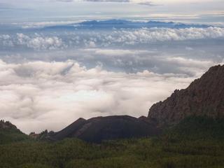
A historic volcanic area above Arafo associated with the early-18th-century eruption sequence on Tenerife’s eastern slopes.
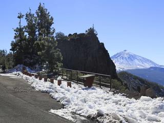
Teide & Central Tenerife
A high-altitude mountain viewpoint in Tenerife’s forested upper slopes, offering a change of scenery from the warm coast.
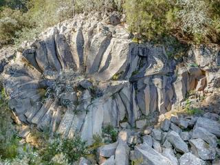
Teide & Central Tenerife
A high mountain viewpoint with two outlooks, including views toward Teide and the island of La Palma in clear weather.
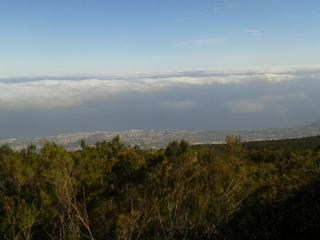
Northern Tenerife
A forest-edge viewpoint over the Orotava Valley, combining northern woodland, farmland and distant Teide views.
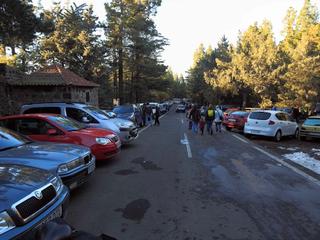
Northern Tenerife
Ramón Caminero is an officially designated camping area (zona de acampada) within Parque Natural de Corona Forestal, in the municipality of La Orotava in northern Tenerife. It sits in a managed forest/natural setting typical of the island's authorised camping zones, which are overseen by the Cabildo de Tenerife. It is officially listed for tent and cabin camping. As with every zona de acampada in Tenerife, you need a free permit arranged in advance through the Cabildo (Tenerife ON), and stays are capped at a maximum of seven consecutive days. On-site facilities vary and are not guaranteed, so confirm current rules, availability and any fire or weather closures on the official channel before you travel.
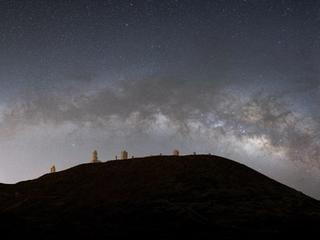
Teide & Central Tenerife
A major high-altitude astronomy site on Tenerife, part of the Canary Islands’ internationally important observatory network.
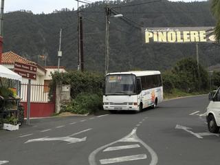
La Orotava · Northern Tenerife
An ethnographic park in the hills above La Orotava preserving traditional rural buildings, crafts and the everyday life of Tenerife’s mid-altitude farming communities.
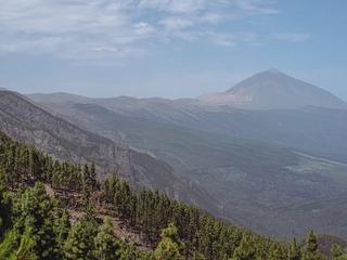
Teide & Central Tenerife
A high mountain lookout toward Teide and the Orotava Valley, often photographed when the trade-wind clouds settle below the ridge.
PlanningA practical guide to Tenerife’s most rewarding scenic drives and viewpoints — from Teide’s volcanic highlands to Anaga’s cloud forests and the mountain roads of Teno and Masca.
Read guideExperience GuidesBookA practical first-time guide to Teide National Park — how to reach the highlands, use the cable car, understand summit access, plan viewpoints and prepare for high-altitude conditions.
Read guide