
 Nature
Anaga & Teno Nature Guide
A practical guide to Tenerife’s two ancient mountain massifs — Anaga’s laurel forest and Atlantic ridges, and Teno’s ravines, Masca and dramatic western coastline.
Read guide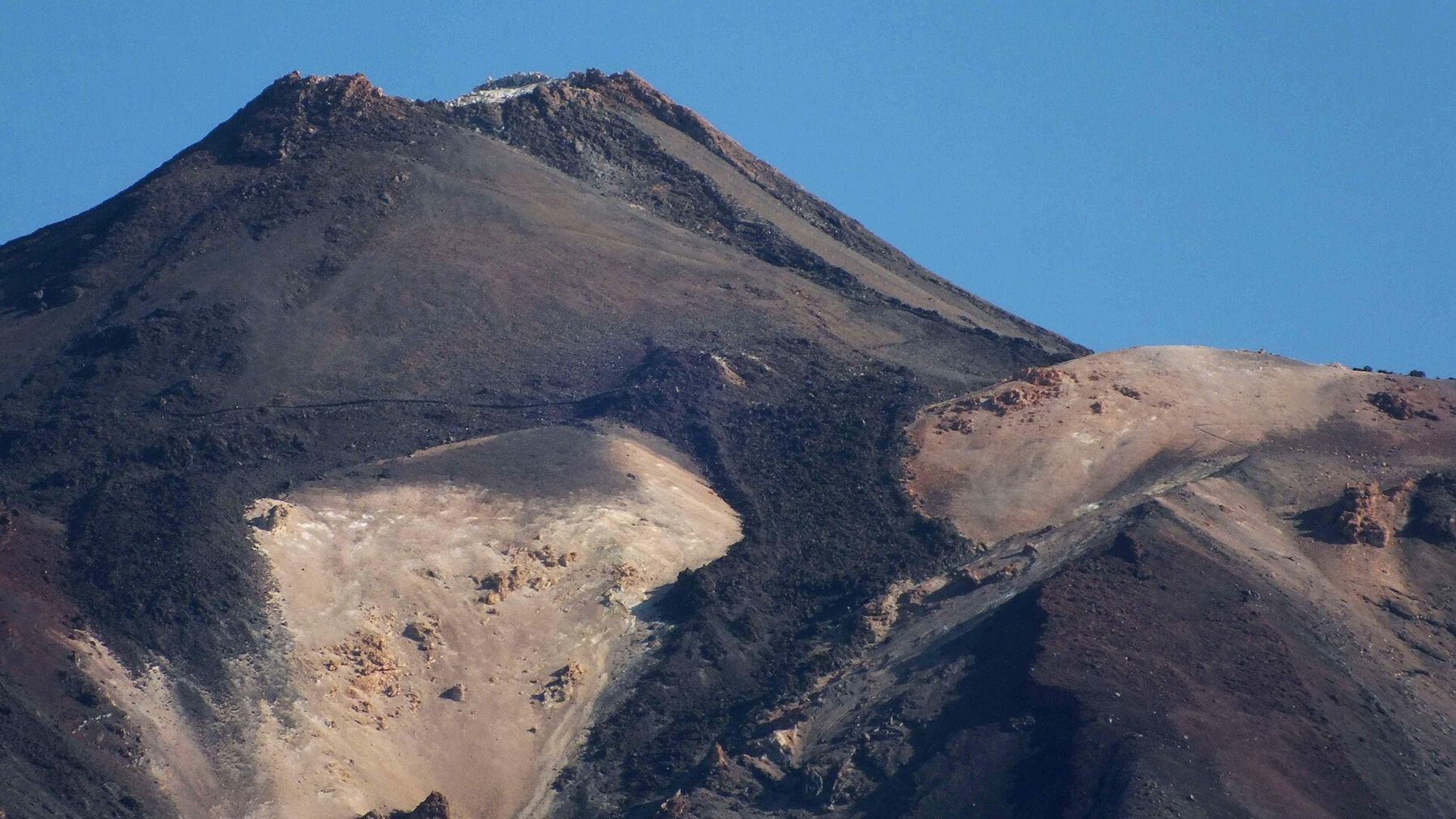
A practical guide to Tenerife’s most rewarding scenic drives and viewpoints — from Teide’s volcanic highlands to Anaga’s cloud forests and the mountain roads of Teno and Masca.
Tenerife compresses an extraordinary range of landscapes into a relatively small island. A single drive can move from dry coast to pine forest, through cloud layers and into high volcanic terrain, while another leads from city streets into laurel forest and remote mountain hamlets. The reward is not just the destination — the road itself is often part of the experience.
The roads into Teide National Park are among Tenerife’s most dramatic. From either north or south, the route climbs through changing vegetation before opening into the volcanic landscape of Las Cañadas. Roques de García, the Ucanca plain and the cable-car area are natural places to stop, but allow time for smaller miradors as well.
This is a mountain drive, not simply a transfer to the cable car. Temperatures and visibility can differ sharply from the coast, so check conditions before leaving and avoid building a timetable that is too tight.
Anaga feels completely different from Teide. Roads weave along ridges and through humid laurel forest, with sudden views towards deep valleys and the Atlantic. Cruz del Carmen is a useful orientation point, while the roads towards Taganana and the north coast reveal the scale of the massif. Mist is part of the landscape here, so visibility can change quickly.
The roads around Teno and Masca are famous for steep ravines, sharp bends and huge mountain views. They are best enjoyed slowly, using designated viewpoints rather than trying to stop informally. If you are uncomfortable on narrow mountain roads, choose a guided excursion or visit at a quieter time rather than rushing the route.
Do not try to collect every mirador. Choose a few landscapes that are genuinely different: high volcanic terrain at Teide, forest and ridge views in Anaga, and deep ravines around Teno. This gives the day more rhythm and leaves time for short walks, cafés and unplanned stops.
Expect slower average speeds than the map may suggest. Fog, cyclists, sharp bends, elevation changes and limited parking can all affect timing. Keep fuel above a comfortable minimum before heading into remote areas, follow road restrictions and local signs, and never stop on bends simply for a photograph.
On the climb into Teide National Park, Tenerife’s climate can appear to change several times in a single journey: warm coast, cloud-laden pine forest and then dry, bright high-altitude volcanic terrain above the cloud layer. The island’s trade winds and steep relief are a major reason these contrasts are so pronounced.
Treat Teide, Anaga and Teno as separate scenic days if your schedule allows. Trying to combine all three creates a long driving day and leaves little time to experience the places themselves. For first-time visitors, Teide is the priority; Anaga is best for forest and ridge scenery; Teno and Masca are the choice for dramatic ravines and mountain-road atmosphere.
Emilien Lebourgeois / Wikimedia Commons (Public domain)Teide, Masca, the west-coast cliffs and the north are far easier to reach by car than by bus. Compare Tenerife rental cars across trusted suppliers and pick up at either airport.
We compare Tenerife car rental through our partner DiscoverCars and may earn a commission — at no extra cost to you.
 Viewpoints
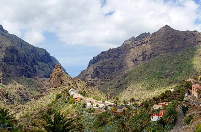
A dramatic road viewpoint above Masca, looking across the Teno mountains and deep ravines toward the west coast.
 Volcanoes & Teide
A famous roadside geological stop where multicoloured volcanic layers are exposed beside the TF-24 road to Teide.
 Volcanoes & Teide
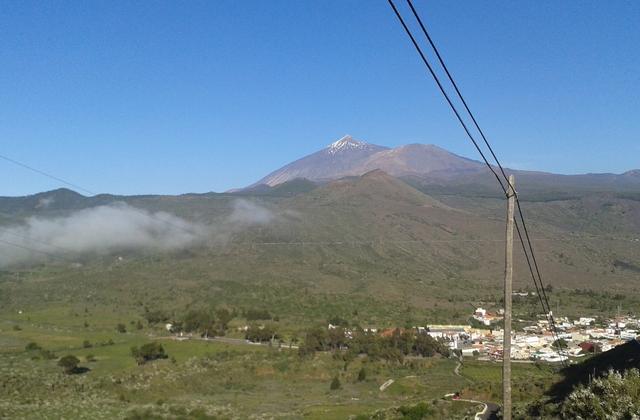
The classic viewpoint beside Roques de García, with one of the most recognisable panoramas of Teide and the caldera landscape.
ViewpointsTicketsAnaga Rural Park protects Tenerife’s northeast laurel forests, dramatic mountain ridges, traditional villages and coastal landscapes.
 Viewpoints
A laurel-forest viewpoint and trail hub in Anaga Rural Park, with mountain scenery and walking options.
 Viewpoints
One of Tenerife’s classic valley viewpoints, overlooking the Orotava Valley, banana-growing areas, Puerto de la Cruz and Teide.
 Viewpoints
A remote mountain village set among the dramatic ridges and gorges of the Teno massif in north-west Tenerife.
 Nature & Forests
Iconic volcanic rock formations in Teide National Park, including Roque Cinchado, explored via the official PNT 03 loop.
 Volcanoes & TeideTickets
Spain's highest peak (3,715 m) and a UNESCO World Heritage volcanic landscape at the heart of Tenerife.
Practical details can change. These official sources are the reference points used for this guide.
RouteAncient laurel forest, knife-edge ridges and remote hamlets in the island's wild, misty north-east.
RouteClimb from the green Orotava valley into the volcanic heart of the island — Teide National Park and the Roques de García.
RouteA big-picture loop joining the island's signature sights — Teide, the historic north and the UNESCO city of La Laguna.
NatureA practical guide to Tenerife’s two ancient mountain massifs — Anaga’s laurel forest and Atlantic ridges, and Teno’s ravines, Masca and dramatic western coastline.
Read guideExperience GuidesBookA practical first-time guide to Teide National Park — how to reach the highlands, use the cable car, understand summit access, plan viewpoints and prepare for high-altitude conditions.
Read guide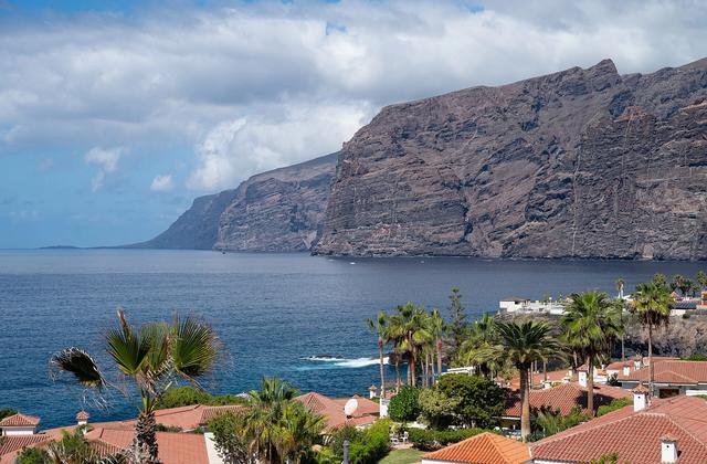 Road trips
A full self-drive loop around Tenerife using the TF-1, TF-82 and TF-5, with the best stops, realistic timing, road tips and a one-day or two-day plan.
Read guide