

Anaga
Anaga Scenic Drive
~45 km · Half to full day · 3 stops
Ancient laurel forest, knife-edge ridges and remote hamlets in the island's wild, misty north-east.
The Anaga massif in the far north-east is one of the oldest parts of Tenerife and feels utterly different from the rest of the island.
A single ridge road threads past viewpoints over both coasts, through dripping laurel forest and down to isolated hamlets and black-sand beaches.
Route map
Prefer a guided tour?
This is a self-drive route — or let a partner do the driving with a guided tour or activity.

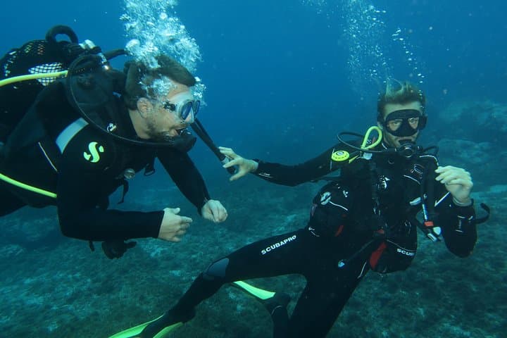
RECREATIONAL DIVE (certified divers only) : Explore Canarian Sealife
From €95
View →via Viator

Santa Cruz, La Laguna, and Anaga: Guided Tour + Transportation
before_date
From €55
View →via Tiqets

Booking and payment take place securely with our partner. GoToTene may earn a commission at no extra cost to you.
Good to know
The Anaga roads are narrow and twisting with frequent blind bends and sometimes low cloud in the forest. Take your time, use pull-ins to let faster traffic pass, and avoid rushing.
Morning, before cloud builds over the ridges. The laurel forest is atmospheric even in mist.
The Anaga visitor centre (Cruz del Carmen) has trail maps and parking. Many of the best viewpoints are signposted miradors along the ridge road.
Half to full day
Places on this route
Nature & ForestsAnaga Rural Park
An ancient laurel-forest massif of knife-edge ridges and remote hamlets in Tenerife's north-east, a UNESCO Biosphere Reserve.
 Towns & Villages
San Cristóbal de La Laguna
Tenerife's former capital and a UNESCO World Heritage city with a well-preserved historic grid and university life.
 Beaches
Playa de Las Teresitas
A sheltered golden-sand beach near San Andrés, just north of the capital Santa Cruz.
Add the stops to your Trip Planner and build your Tenerife itinerary around this drive.