
Teide & Central Tenerife
Ayosa Viewpoint
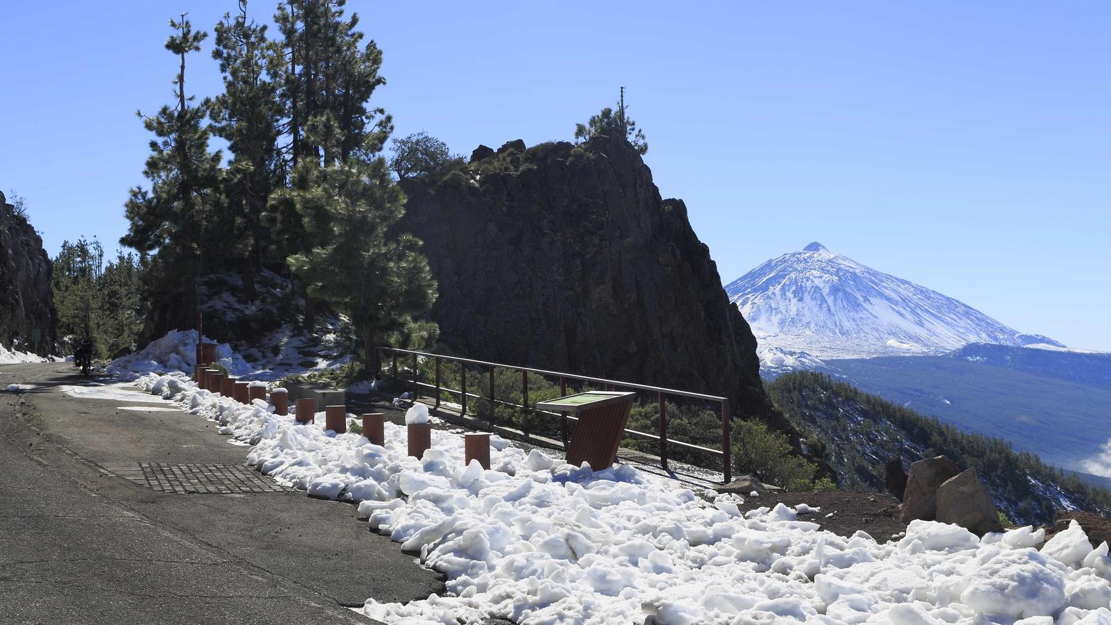
A high-altitude mountain viewpoint in Tenerife’s forested upper slopes, offering a change of scenery from the warm coast.
About this viewpoint
Ayosa Viewpoint is a highland lookout in Tenerife’s mountain road network, set among forest and upper-elevation volcanic terrain. The surroundings feel very different from the beaches and urban centres below.
Pines and mountain vegetation frame the landscape, with views dependent on cloud cover, wind and the specific direction of the lookout. Visitors travelling toward the Teide region often notice abrupt changes in temperature as elevation increases.
This is primarily a scenic roadside stop rather than a managed destination with guaranteed visitor services. The availability of a safe pull-off, the direction of views and any nearby trail access must be checked on site rather than assumed from a general map marker.
Prepare for cool or wet weather, especially when low cloud reaches the mountains. Avoid parking on bends or walking beyond roadside barriers. The exact viewpoint entrance and parking point remain unverified, so no speculative GPS coordinates have been added.
For other places to include in this part of your Tenerife trip, explore Teide National Park and La Orotava.
Visitor information
Bring layers and check mountain forecasts. Stop only where parking is permitted, and do not assume toilets, food service or safe trail access at the viewpoint.
Location
Explore nearby
Places close to Ayosa Viewpoint, sorted by distance.
La Crucita Viewpoint
Teide & Central Tenerife
A high TF-24 viewpoint with sweeping views across eastern Tenerife and landscapes shaped by historic eruptions.

La Crucita Mountain
Eastern Tenerife
La Crucita is a mountain in Tenerife’s eastern volcanic highlands. The nearby TF-24 corridor is known for upland viewpoints and changing mountain weather.
Arafo Volcano Historic Eruption Area
Eastern Tenerife
A historic volcanic area above Arafo associated with the early-18th-century eruption sequence on Tenerife’s eastern slopes.
Chipeque Viewpoint
Teide & Central Tenerife
A high mountain lookout toward Teide and the Orotava Valley, often photographed when the trade-wind clouds settle below the ridge.
La Orotava · Northern Tenerife
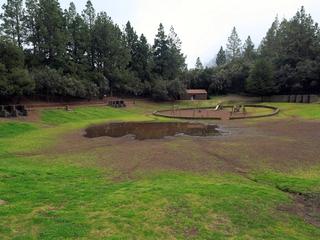
A designated forest camping area in the forest above Aguamansa (La Orotava). Camping in Tenerife is generally restricted to official campsites and designated forest camping zones (zonas de acampada) managed by the Cabildo de Tenerife, which normally require a permit booked in advance (usually free) via the Cabildo's Tenerife ON platform — always confirm current permit, rules and facilities on the official channels before you go.
La Tarta Viewpoint
Teide & Central Tenerife
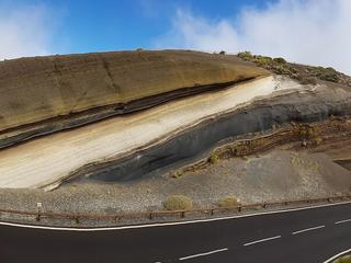
A famous roadside geological stop where multicoloured volcanic layers are exposed beside the TF-24 road to Teide.
Eastern Tenerife
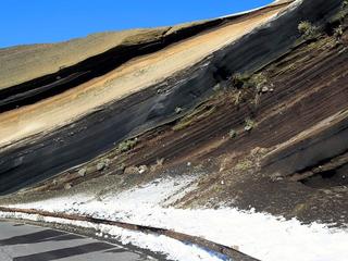
A south-facing mountain viewpoint over Arafo’s upper slopes and volcanic highland scenery.

La Resbala
Eastern Tenerife
Explore La Resbala, a protected rocky landscape with native plants on the slopes of Tenerife's Orotava Valley.

Paisaje Protegido de las Siete Lomas
Eastern Tenerife
El paisaje protegido de las Siete Lomas es un paraje natural formado por 1013,90 hectáreas alrededor de los municipios de Güímar, Candelaria y Arafo, en la isla de Tenerife (Canarias, España).
Siete Lomas Protected Landscape
Eastern Tenerife
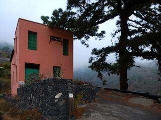
Terraced farmland, ravines and volcanic ridges across Güímar, Arafo and Candelaria, including lava from Arafo’s 1705 eruption.
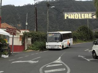
La Orotava · Northern Tenerife
An ethnographic park in the hills above La Orotava preserving traditional rural buildings, crafts and the everyday life of Tenerife’s mid-altitude farming communities.

Reserva natural integral de Pinoleris
Northern Tenerife
Discover the protected Pinoleris reserve on Tenerife's Orotava Valley slopes, known for endemic plants.