
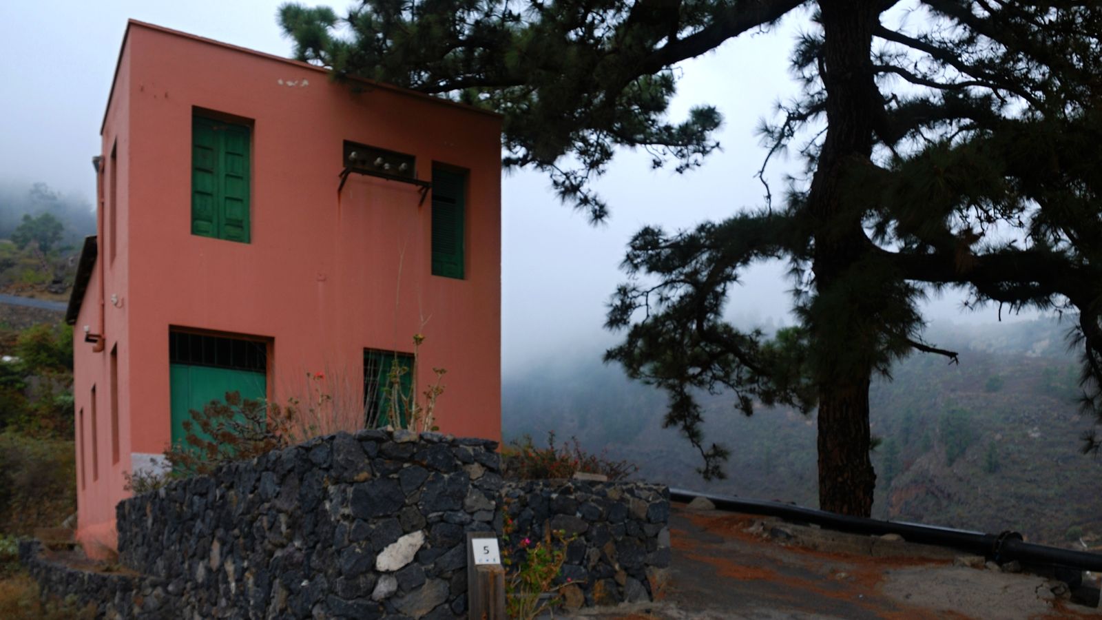
Eastern Tenerife
Siete Lomas Protected Landscape
Terraced farmland, ravines and volcanic ridges across Güímar, Arafo and Candelaria, including lava from Arafo’s 1705 eruption.
About this volcanic site
Siete Lomas covers about 1,013.9 hectares across Güímar, Arafo and Candelaria. Ridges separated by ravines form a landscape where cultivation and volcanic terrain meet.
Lava from the Arafo eruption of 1705 forms part of the protected area. These flows record one chapter in the volcanic history of the Güímar Valley.
Terraces support potatoes, vines and fruit trees, while rocky ravine habitats shelter threatened native plants. Explore public roads and authorised paths, respecting farmland and fragile vegetation.
Visitor information
Siete Lomas is a protected working landscape across Arafo, Candelaria and Güímar, not a single visitor attraction with a staffed entrance. Enjoy authorised roads and paths, keep out of private farmland and protect rocky plant habitats.
Frequently asked questions
- Across the municipalities of Arafo, Candelaria and Güímar on Tenerife's eastern slopes.
Location
Explore nearby
Places close to Siete Lomas Protected Landscape, sorted by distance.

Paisaje Protegido de las Siete Lomas
Eastern Tenerife
El paisaje protegido de las Siete Lomas es un paraje natural formado por 1013,90 hectáreas alrededor de los municipios de Güímar, Candelaria y Arafo, en la isla de Tenerife (Canarias, España).

Eastern Tenerife
A Catholic church in Arafo, eastern Tenerife, associated with local devotion to María Auxiliadora.

Arafo
Eastern Tenerife
An inland town in Tenerife’s eastern Güímar Valley, with traditional streets, mountain scenery and everyday Canarian village life.
Arafo Volcano Historic Eruption Area
Eastern Tenerife
A historic volcanic area above Arafo associated with the early-18th-century eruption sequence on Tenerife’s eastern slopes.
Casa Chacona Museum
Güímar · Eastern Tenerife
The museum of the Pirámides de Güímar Ethnographic Park, housed in a traditional 19th-century Canarian house and focused on the site, world cultures and Thor Heyerdahl’s research.
Pyramids of Güímar
Eastern Tenerife
Six stepped lava-stone structures at an ethnographic park that explores Tenerife heritage, botanical collections and the debated history of the Güímar pyramids.
Chacona Cave
Eastern Tenerife
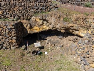
A volcanic tube beneath Pyramid One at the Pirámides de Güímar park, where archaeological finds linked to Guanche occupation have been discovered.

Eastern Tenerife
A tiny 1794 chapel in Güímar’s historic centre, notable for its wall paintings, local San Pedro devotion and compact scale.
Chivisaya Viewpoint
Eastern Tenerife
A viewpoint over the Güímar Valley, looking across farmland, settlements and the broad eastern slope of Tenerife.
Ayosa Viewpoint
Teide & Central Tenerife
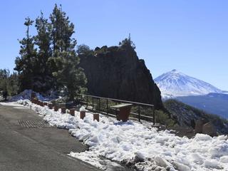
A high-altitude mountain viewpoint in Tenerife’s forested upper slopes, offering a change of scenery from the warm coast.

Church of Santo Domingo, Güímar
Eastern Tenerife
The surviving church of Güímar’s former Dominican convent, preserving rococo altarpieces and religious art after a major 18th-century fire.

Güímar
Eastern Tenerife
A historic east-Tenerife town and valley where Guanche heritage, old religious architecture, agricultural traditions and volcanic landscapes meet between the coast and the highlands.