
Eastern Tenerife
Chivisaya Viewpoint
A viewpoint over the Güímar Valley, looking across farmland, settlements and the broad eastern slope of Tenerife.
About this viewpoint
Chivisaya is a viewpoint on the TF-523, around kilometre 10, within Candelaria municipality. Tenerife Tourism identifies views over the cultivated Güímar Valley and three protected landscapes: Malpaís de Güímar, Siete Lomas and Corona Forestal. Its official listing identifies parking, a bus stop, adapted access and an interpretation panel. It makes a useful short scenic stop when crossing this part of eastern Tenerife.
Visitor information
Located on the TF-523 around kilometre 10 in Candelaria. Official tourism lists parking, a bus stop, partial/accessible visitor access and an interpretation panel; verify conditions before arriving.
Frequently asked questions
- On the TF-523 near kilometre 10 in Candelaria, above the Güímar Valley.
Location
Explore nearby
Places close to Chivisaya Viewpoint, sorted by distance.
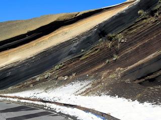
Eastern Tenerife
A south-facing mountain viewpoint over Arafo’s upper slopes and volcanic highland scenery.

Paisaje Protegido de las Siete Lomas
Eastern Tenerife
El paisaje protegido de las Siete Lomas es un paraje natural formado por 1013,90 hectáreas alrededor de los municipios de Güímar, Candelaria y Arafo, en la isla de Tenerife (Canarias, España).
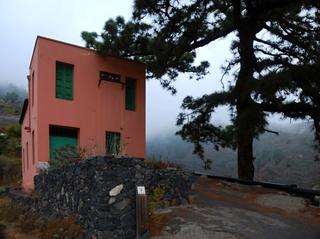
Siete Lomas Protected Landscape
Eastern Tenerife
Terraced farmland, ravines and volcanic ridges across Güímar, Arafo and Candelaria, including lava from Arafo’s 1705 eruption.
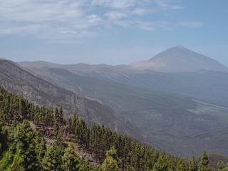
Chipeque Viewpoint
Teide & Central Tenerife
A high mountain lookout toward Teide and the Orotava Valley, often photographed when the trade-wind clouds settle below the ridge.

Arafo
Eastern Tenerife
An inland town in Tenerife’s eastern Güímar Valley, with traditional streets, mountain scenery and everyday Canarian village life.

Eastern Tenerife
A Catholic church in Arafo, eastern Tenerife, associated with local devotion to María Auxiliadora.
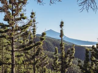
Ortuño Viewpoint
Teide & Central Tenerife
A classic stop on the La Esperanza road to Teide, known for views of the volcano, forest and sea of clouds.
Ayosa Viewpoint
Teide & Central Tenerife
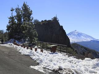
A high-altitude mountain viewpoint in Tenerife’s forested upper slopes, offering a change of scenery from the warm coast.
Arafo Volcano Historic Eruption Area
Eastern Tenerife
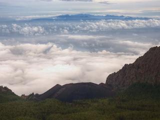
A historic volcanic area above Arafo associated with the early-18th-century eruption sequence on Tenerife’s eastern slopes.

Cordillera Dorsal
Northern Tenerife
A volcanic mountain ridge crossing central-eastern Tenerife, with forests, high roads and shifting cloudscapes.

Paisaje protegido de Las Lagunetas
Northern Tenerife
Explore Las Lagunetas, a protected Tenerife forest landscape with pine woodland and native mountain vegetation.

La Resbala
Eastern Tenerife
Explore La Resbala, a protected rocky landscape with native plants on the slopes of Tenerife's Orotava Valley.