
Teide & Central Tenerife
Chipeque Viewpoint
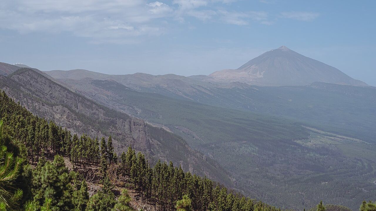
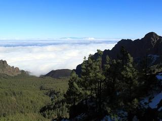
A high mountain lookout toward Teide and the Orotava Valley, often photographed when the trade-wind clouds settle below the ridge.
About this viewpoint
Chipeque Viewpoint is associated with the high northern slopes of Tenerife, where roads pass through pine forest and the landscape opens toward Mount Teide and the Orotava Valley. It is especially renowned for views over a sea of clouds.
Cloud layers occur when moist trade winds meet the island’s mountainous terrain. On a suitable day, the valleys may be hidden under a blanket of cloud while the upper ridges and volcanic summit remain visible. That effect is weather-dependent, not guaranteed.
The viewpoint appeals to photographers and travellers following the high roads toward Teide. Visibility can change in minutes, particularly when clouds move across the road, and temperatures may be much cooler than in coastal resorts.
Stop only at signed, safe pull-offs and do not obstruct road traffic or step beyond barriers. Carry an extra layer and check conditions before a mountain drive. Precise parking or viewing-platform GPS has not been verified for this record, so no coordinates are invented.
For other places to include in this part of your Tenerife trip, explore Teide National Park and La Orotava.
Visitor information
Expect cooler air, changing cloud, wind and reduced road visibility. Use only designated stopping areas and never cross roadside barriers for photos.
Location
Explore nearby
Places close to Chipeque Viewpoint, sorted by distance.
Eastern Tenerife
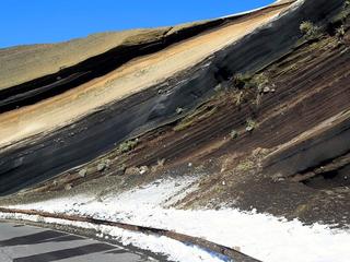
A south-facing mountain viewpoint over Arafo’s upper slopes and volcanic highland scenery.
Ayosa Viewpoint
Teide & Central Tenerife
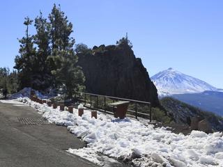
A high-altitude mountain viewpoint in Tenerife’s forested upper slopes, offering a change of scenery from the warm coast.

La Resbala
Eastern Tenerife
Explore La Resbala, a protected rocky landscape with native plants on the slopes of Tenerife's Orotava Valley.

Reserva natural integral de Pinoleris
Northern Tenerife
Discover the protected Pinoleris reserve on Tenerife's Orotava Valley slopes, known for endemic plants.
La Orotava · Northern Tenerife
An ethnographic park in the hills above La Orotava preserving traditional rural buildings, crafts and the everyday life of Tenerife’s mid-altitude farming communities.
Chivisaya Viewpoint
Eastern Tenerife
A viewpoint over the Güímar Valley, looking across farmland, settlements and the broad eastern slope of Tenerife.

La Crucita Mountain
Eastern Tenerife
La Crucita is a mountain in Tenerife’s eastern volcanic highlands. The nearby TF-24 corridor is known for upland viewpoints and changing mountain weather.
La Crucita Viewpoint
Teide & Central Tenerife
A high TF-24 viewpoint with sweeping views across eastern Tenerife and landscapes shaped by historic eruptions.
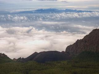
Arafo Volcano Historic Eruption Area
Eastern Tenerife
A historic volcanic area above Arafo associated with the early-18th-century eruption sequence on Tenerife’s eastern slopes.

Paisaje Protegido de las Siete Lomas
Eastern Tenerife
El paisaje protegido de las Siete Lomas es un paraje natural formado por 1013,90 hectáreas alrededor de los municipios de Güímar, Candelaria y Arafo, en la isla de Tenerife (Canarias, España).
La Orotava · Northern Tenerife
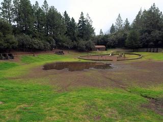
A designated forest camping area in the forest above Aguamansa (La Orotava). Camping in Tenerife is generally restricted to official campsites and designated forest camping zones (zonas de acampada) managed by the Cabildo de Tenerife, which normally require a permit booked in advance (usually free) via the Cabildo's Tenerife ON platform — always confirm current permit, rules and facilities on the official channels before you go.
Siete Lomas Protected Landscape
Eastern Tenerife
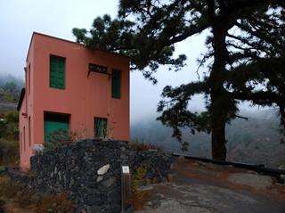
Terraced farmland, ravines and volcanic ridges across Güímar, Arafo and Candelaria, including lava from Arafo’s 1705 eruption.