
Eastern Tenerife
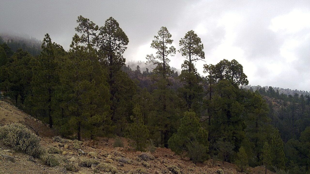
Corona Forestal Natural Park
A vast protected belt of pine forest and volcanic mountains around Tenerife’s Teide highlands.
About this place
The protected Corona Forestal forms a broad belt of pine forest and volcanic mountain terrain around Tenerife’s central highlands. It is a major part of the island’s landscape between coastal settlements and Teide National Park.
Large changes in altitude bring different temperatures, habitats and views. Canary Island pine woodland is especially prominent, and the forest environment contrasts sharply with the drier lower slopes.
Visitors can explore suitable public roads, approved viewpoints and marked walking routes. A single map pin cannot represent the whole protected park, and not every forest road is open to ordinary vehicles.
Before hiking, check the official Tenerife ON route information, weather, fire-risk restrictions and access notices. Stay on permitted paths, carry water and warm layers, and never light fires outside explicitly permitted arrangements.
Explore the surrounding area through Volcán de Siete Fuentes and Fasnia. Each destination has its own visitor information.
Visitor information
Follow official trail and fire restrictions; check Tenerife ON for closures and permits. Higher forest roads can be cool or misty, and a general park map point is not a trailhead.
Location
Explore nearby
Places close to Corona Forestal Natural Park, sorted by distance.
Southern Tenerife
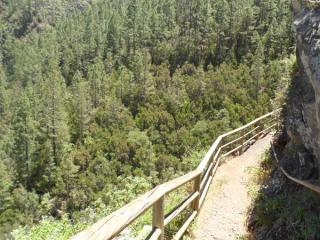
A designated camping area in the Corona Forestal pine forest in Arico, southern Tenerife.
Volcán de Siete Fuentes
Eastern Tenerife
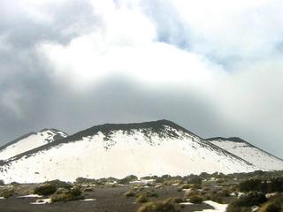
A small historic volcano near Izaña formed during Tenerife's 1704–1705 fissure eruption sequence, with multiple eruptive vents.
Fasnia Volcano Historic Eruption Area
Teide & Central Tenerife
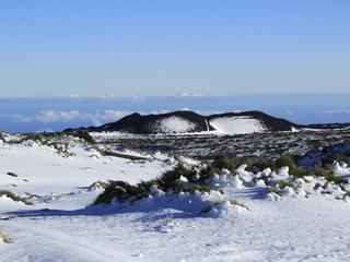
A historic eruption area on Tenerife’s eastern highlands associated with the 1704–1705 volcanic sequence.
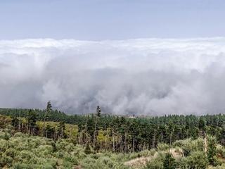
Southern Tenerife
A managed forest camping zone in Arico, in Tenerife’s protected Corona Forestal.
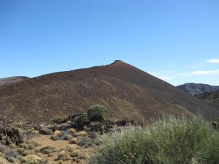
Montaña Mostaza Volcanic Cone
Teide & Central Tenerife
A compact volcanic cone in the Teide highlands that helps illustrate the many smaller vents surrounding the central summit complex.
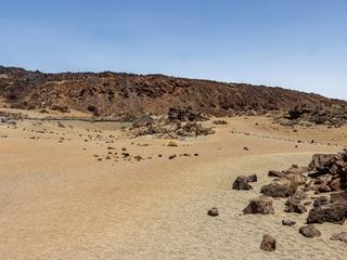
Minas de San José Viewpoint
Teide & Central Tenerife
A two-part roadside viewpoint at km 38.5 of the TF-21 in Teide National Park, across old open-cast workings where pumice was once extracted. One side looks at the lava flows of Montaña Rajada; the other looks out over the Las Cañadas caldera.

La Grieta Rock
Teide & Central Tenerife
Discover Roque de la Grieta, a 2,576-metre summit on the edge of Teide National Park.
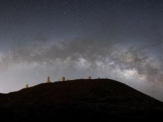
Teide Observatory
Teide & Central Tenerife
A major high-altitude astronomy site on Tenerife, part of the Canary Islands’ internationally important observatory network.
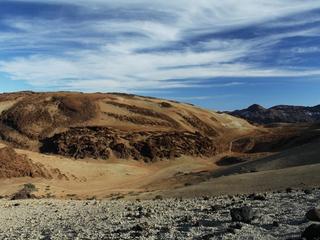
Mount Rajada
Teide & Central Tenerife
A volcanic mountain in the Las Cañadas depression near Montaña Blanca, with a dedicated official PNT 27 hiking route.
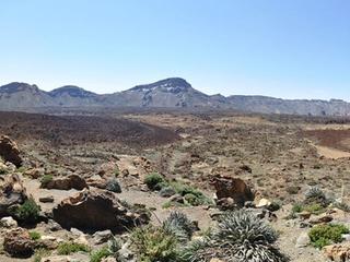
Tabonal Negro Lava Field
Teide & Central Tenerife
A dark volcanic landscape in Teide National Park known for shiny black volcanic glass and rugged lava textures.
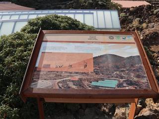
Teide & Central Tenerife
The main interpretation stop on Teide’s northeast side, with exhibits and nearby botanical displays focused on the national park’s volcanic landscape and high-altitude ecology.
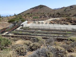
El Portillo Botanical Garden
Teide & Central Tenerife
A high-altitude botanical garden inside Teide National Park dedicated to native flora, conservation and interpretation.
Related places
 Towns & Villages
Fasnia
Fasnia is a town and a municipality in the eastern part of the Spanish island of Tenerife, one of the Canary Islands, and part of the province of Santa Cruz de Tenerife.
 Volcanoes & Teide
Volcán de Siete Fuentes
A small historic volcano near Izaña formed during Tenerife's 1704–1705 fissure eruption sequence, with multiple eruptive vents.