
Southern Tenerife
Paisaje Protegido del Barranco de Erques
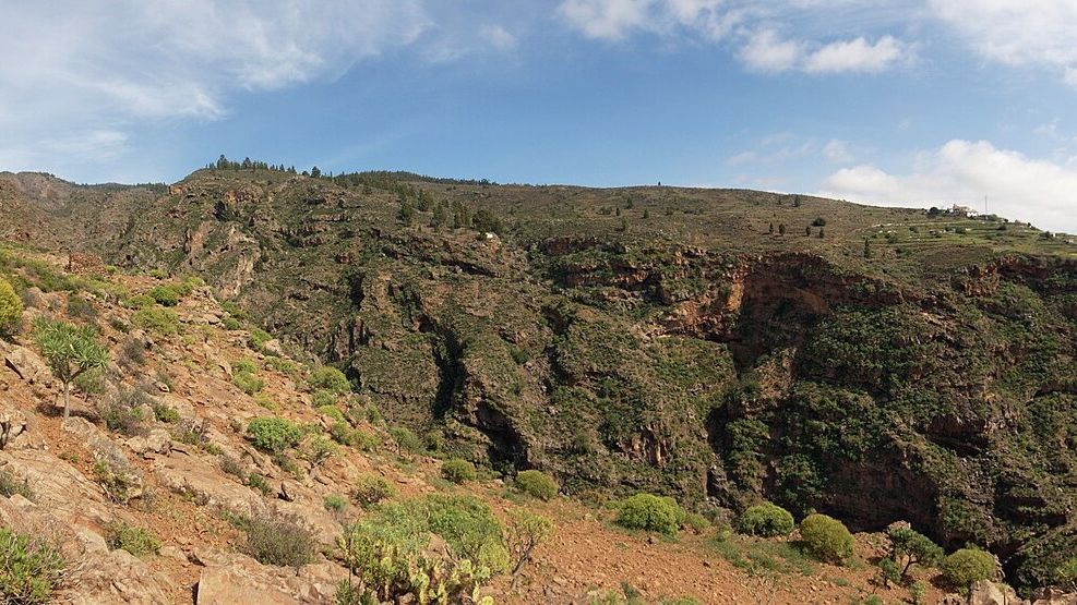
A protected volcanic ravine landscape between Adeje and Guía de Isora in southwest Tenerife.
About this place
Barranco de Erques is a major ravine on Tenerife’s southwestern slopes between the municipalities of Adeje and Guía de Isora. Its deep-cut terrain reflects the erosion of volcanic land over time.
The surrounding area includes protected landscapes connecting higher forested terrain and lower coastal habitats. These environments are sensitive, and permission to enter one section should not be assumed to apply to the whole ravine.
The landscape is best understood through permitted viewpoints and authorised trails. Steep slopes, loose ground and sudden runoff after heavy rain can present serious hazards in ravines.
Check official protected-area information before visiting, stay on permitted routes and never enter a barranco when rain or flash-flood risk is present. The map point is not a verified trail entrance.
Discover more nearby and across this part of Tenerife: Tejina Mountain Natural Monument and Abama Golf. Check each place’s visitor information before planning your next stop.
Visitor information
Protected ravine: use permitted routes only, avoid entering during or after heavy rain, and never treat the mapped point as a trailhead.
Location
Explore nearby
Places close to Paisaje Protegido del Barranco de Erques, sorted by distance.
Tejina Mountain Natural Monument
Southern Tenerife
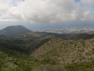
A protected volcanic mountain above Guía de Isora, cut by deep ravines and shaped by both geology and traditional agriculture.
Tejina Mountain Natural Monument
Southern Tenerife
A protected volcanic mountain and ravine landscape above Guía de Isora in southwest Tenerife.
Abama Golf
Southern Tenerife
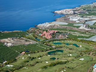
Abama Golf is an 18-hole golf course in Guía de Isora, known for landscaped fairways and Atlantic views.
Otelo
Southern Tenerife
A longstanding Adeje restaurant near Barranco del Infierno known for traditional Canarian cooking.
Casa Fuerte
Southern Tenerife
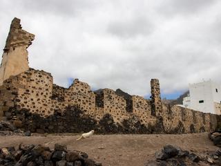
A historic fortified estate landmark in inland Adeje, linked to the town’s agricultural and defensive past.
Aripe Rock Engravings
Southern Tenerife
Protected Guanche rock engravings in the archaeological area near Aripe, Guía de Isora; the site is not a publicly managed attraction.
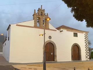
Church of Santa Úrsula — Adeje
Southern Tenerife
A historic parish church in inland Adeje, with longstanding architectural and religious significance.
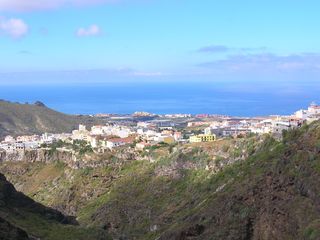
Adeje Sacred Art Museum
Southern Tenerife
A cultural museum close to Adeje’s historic centre, presenting religious art and local heritage.
Franciscan Convent of Adeje
Southern Tenerife
A historic convent site in inland Adeje, associated with the town’s long religious history.
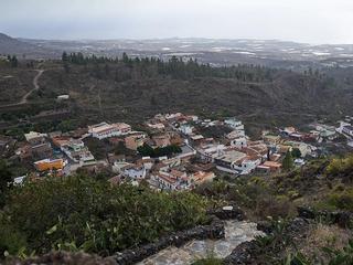
Chirche
Southern Tenerife
A traditional hillside hamlet in Guía de Isora, with rural lanes and historic village character.
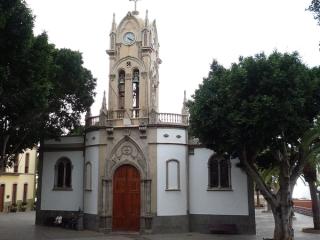
Guía de Isora
Southern Tenerife
An inland town and administrative centre of a southwest Tenerife municipality stretching from coast to mountains.
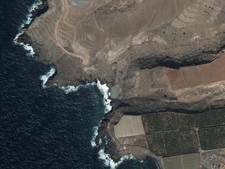
Isorana Cliffs Scientific Interest Site
Southern Tenerife
Volcanic sea cliffs line this protected stretch of southwestern Tenerife, where seabirds nest in the rock.
Related places
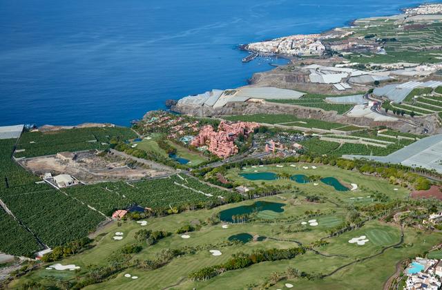
Abama Golf
Abama Golf is an 18-hole golf course in Guía de Isora, known for landscaped fairways and Atlantic views.
 Museums & Culture
Casa Fuerte
A historic fortified estate landmark in inland Adeje, linked to the town’s agricultural and defensive past.
 Volcanoes & Teide
Tejina Mountain Natural Monument
A protected volcanic mountain and ravine landscape above Guía de Isora in southwest Tenerife.