
Southern Tenerife
Sámara Mountain
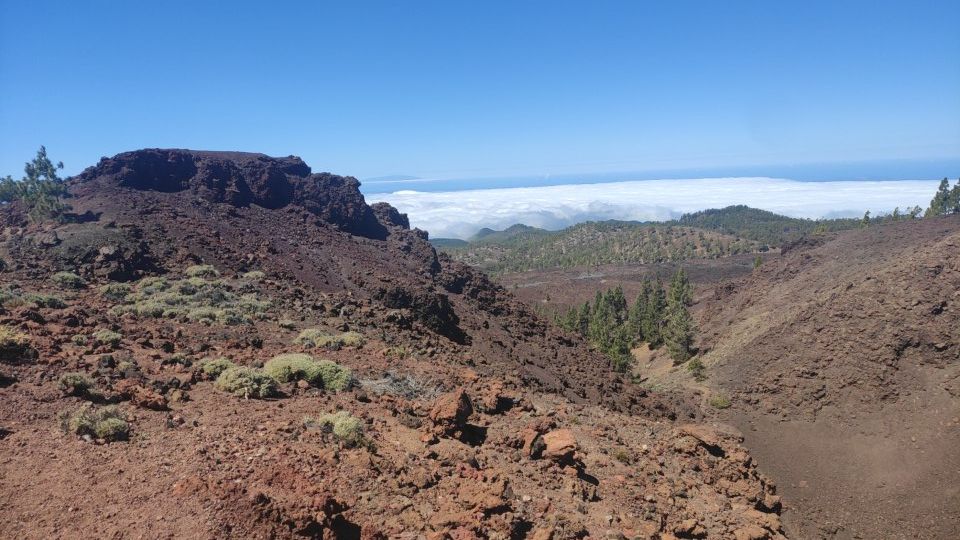
Sámara Mountain is a volcanic highland landscape near Teide, associated with dark volcanic terrain and upland vegetation.
- Volcanic scenery near Teide
- Sámara S-13 trail area
- Canary pine and lava landscapes
About this place
Sámara Mountain is a volcanic highland landscape near Teide in Tenerife. Its setting is associated with dark volcanic terrain and upland vegetation.
The surrounding area shows a different side of the island from the busiest southern beach resorts. Visitors can appreciate its local cultural or natural context according to the type of destination.
Plan around the actual location rather than assuming services, public access or facilities from a general map marker. Seasonal conditions and operating arrangements can change.
Before setting out, check official hiking routes, weather and protective regulations. Follow local rules and any official visitor guidance.
Discover more nearby and across this part of Tenerife: Cave near the TF-38 road in the Corona Forestal Natural Park and Cave of the Birds. Check each place’s visitor information before planning your next stop.
Visitor information
Before visiting, check official hiking routes, weather and protective regulations. Verify current local access.
Location
Explore nearby
Places close to Sámara Mountain, sorted by distance.
Southern Tenerife
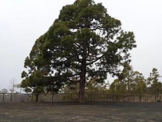
A designated forest camping area in Guía de Isora within Tenerife’s Corona Forestal.
Montaña Reventada Volcanic Cone
Teide & Central Tenerife
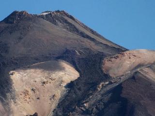
A volcanic cone on the western side of the Teide–Pico Viejo system, set among broad lava fields and high-altitude terrain.
Chinyero Volcano
Northern Tenerife
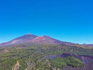
The volcanic cone and black lava fields of Tenerife’s last recorded eruption in 1909, surrounded by Canary Island pine forests and scenic walking routes.
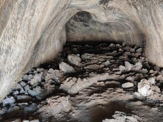
Cave near the TF-38 road in the Corona Forestal Natural Park
Southern Tenerife
Cave near TF-38 is a documented cave near the TF-38 mountain road, known for volcanic geology in protected Corona Forestal.
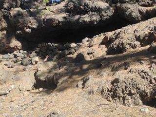
Cave of the Birds
Southern Tenerife
Cueva de los Pájaros is a documented volcanic cave near Guía de Isora, known for the upland volcanic landscape.
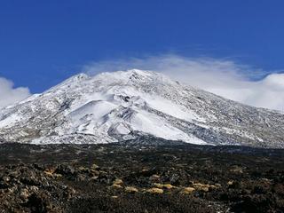
Las Narices del Teide Eruption Vents
Teide & Central Tenerife
Historic eruption vents on the flank of Pico Viejo associated with the 1798 eruption, one of Tenerife’s most important documented volcanic events.
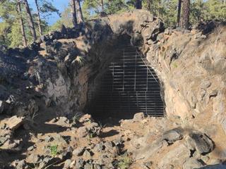
Great Cave of Chío
Southern Tenerife
Cueva Grande de Chío is a documented volcanic cave near Chío, known for geological formations in upland terrain.
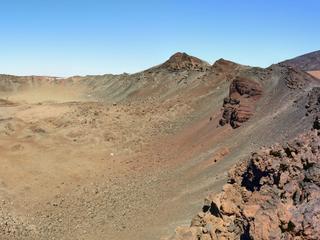
Pico viejo
Teide & Central Tenerife
A major volcano west of Mount Teide, with a dramatic summit crater and lava landscapes in Teide National Park.
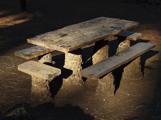
Garachico · Northern Tenerife
A designated forest camping area in the pine forest above Garachico. Camping in Tenerife is generally restricted to official campsites and designated forest camping zones (zonas de acampada) managed by the Cabildo de Tenerife, which normally require a permit booked in advance (usually free) via the Cabildo's Tenerife ON platform — always confirm current permit, rules and facilities on the official channels before you go.

Reserva Natural Especial del Chinyero
Northern Tenerife
Explore Chinyero Special Nature Reserve around the volcano in northwestern Tenerife.
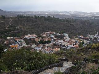
Chirche
Southern Tenerife
A traditional hillside hamlet in Guía de Isora, with rural lanes and historic village character.
Aripe Rock Engravings
Southern Tenerife
Protected Guanche rock engravings in the archaeological area near Aripe, Guía de Isora; the site is not a publicly managed attraction.
Related places
 Nature & Forests
Cave near the TF-38 road in the Corona Forestal Natural Park
Cave near TF-38 is a documented cave near the TF-38 mountain road, known for volcanic geology in protected Corona Forestal.
 Nature & Forests
Chinyero Volcano
The volcanic cone and black lava fields of Tenerife’s last recorded eruption in 1909, surrounded by Canary Island pine forests and scenic walking routes.
 Nature & Forests
Cave of the Birds
Cueva de los Pájaros is a documented volcanic cave near Guía de Isora, known for the upland volcanic landscape.