
Northern Tenerife
Chinyero Volcano
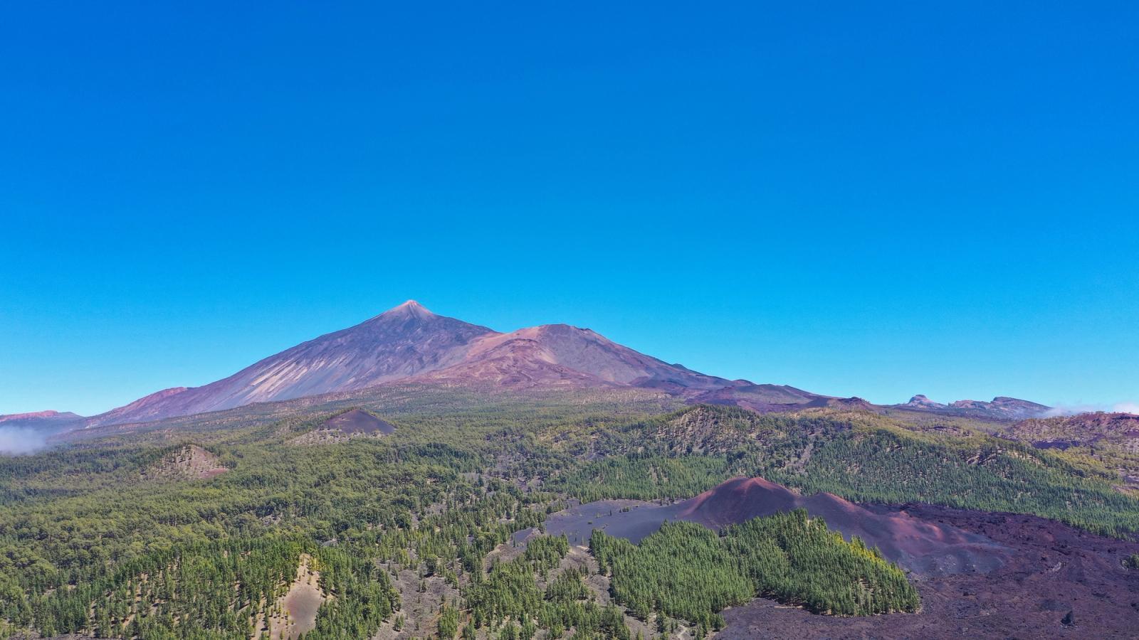
The volcanic cone and black lava fields of Tenerife’s last recorded eruption in 1909, surrounded by Canary Island pine forests and scenic walking routes.
- Tenerife's last volcanic eruption, in 1909
- Dark lava flows contrasting with pine forest
- Walking routes through the volcanic landscape
About this place
Chinyero is one of Tenerife's most historically significant volcanic landscapes. Its 1909 eruption was the island's last recorded volcanic eruption, leaving dark lava flows that stand out against Canary Island pine woodland on the western slopes of the central mountain region.
The contrast between black volcanic rock and recovering vegetation makes this area an excellent place to understand the island's recent geology. Walking routes in the wider Chinyero landscape allow visitors to appreciate the volcanic cone and lava deposits, but there is no need to climb the cone itself.
Choose a trail using the official Tenerife ON trail network and check temporary closures, wildfire restrictions and weather before setting out. Wear sturdy shoes, take water and sun protection, and remain on permitted paths. The GPS marker identifies the volcano, not a trailhead or car park.
Nearby places worth exploring include Reserva Natural Especial del Chinyero and Sámara Mountain. Check each destination's visitor details before planning your route.
Visitor information
2–4 hours for an appropriate nearby walking route; varies by trail
Use official Tenerife ON route and closure information; access can be restricted because of fire prevention or conservation. No trailhead, parking spot or summit access is implied by the volcano coordinates.
Location
Explore nearby
Places close to Chinyero Volcano, sorted by distance.

Reserva Natural Especial del Chinyero
Northern Tenerife
Explore Chinyero Special Nature Reserve around the volcano in northwestern Tenerife.
Garachico · Northern Tenerife
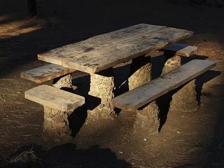
A designated forest camping area in the pine forest above Garachico. Camping in Tenerife is generally restricted to official campsites and designated forest camping zones (zonas de acampada) managed by the Cabildo de Tenerife, which normally require a permit booked in advance (usually free) via the Cabildo's Tenerife ON platform — always confirm current permit, rules and facilities on the official channels before you go.
Southern Tenerife
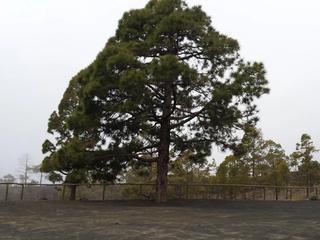
A designated forest camping area in Guía de Isora within Tenerife’s Corona Forestal.
Sámara Mountain
Southern Tenerife
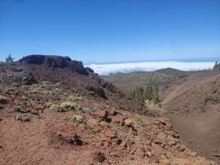
Sámara Mountain is a volcanic highland landscape near Teide, associated with dark volcanic terrain and upland vegetation.
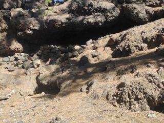
Cave of the Birds
Southern Tenerife
Cueva de los Pájaros is a documented volcanic cave near Guía de Isora, known for the upland volcanic landscape.
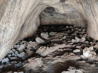
Cave near the TF-38 road in the Corona Forestal Natural Park
Southern Tenerife
Cave near TF-38 is a documented cave near the TF-38 mountain road, known for volcanic geology in protected Corona Forestal.
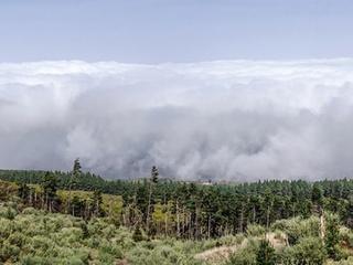
Northern Tenerife
San José de los Llanos is an officially designated camping area (zona de acampada) within Reserva Natural Especial del Chinyero, in the municipality of El Tanque in northern Tenerife. It sits in a managed forest/natural setting typical of the island's authorised camping zones, which are overseen by the Cabildo de Tenerife. It is officially listed for tent and cabin camping. As with every zona de acampada in Tenerife, you need a free permit arranged in advance through the Cabildo (Tenerife ON), and stays are capped at a maximum of seven consecutive days. On-site facilities vary and are not guaranteed, so confirm current rules, availability and any fire or weather closures on the official channel before you travel.

Las Manchas
Teno & the West
Las Manchas is a locality in the municipality of Santiago del Teide in the island of Tenerife.
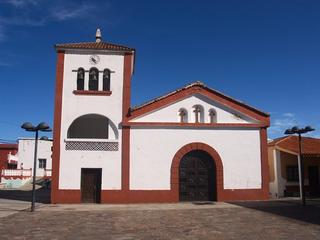
San José de Los Llanos
Northern Tenerife
Discover San José de los Llanos, a mountain village in El Tanque municipality, Tenerife.

Valle de Arriba
Teno & the West
Explore Valle de Arriba, a rural settlement in Santiago del Teide municipality, western Tenerife.
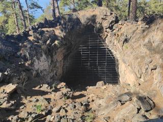
Great Cave of Chío
Southern Tenerife
Cueva Grande de Chío is a documented volcanic cave near Chío, known for geological formations in upland terrain.

Santiago del Teide
Teno & the West
An inland mountain town in western Tenerife and a gateway to the winding TF-436 road towards Masca. The municipality also includes the coastal area around Los Gigantes.
Related places
 Nature & Forests
Cave of the Birds
Cueva de los Pájaros is a documented volcanic cave near Guía de Isora, known for the upland volcanic landscape.
 Nature & Forests
Sámara Mountain
Sámara Mountain is a volcanic highland landscape near Teide, associated with dark volcanic terrain and upland vegetation.
 Family Attractions
Reserva Natural Especial del Chinyero
Explore Chinyero Special Nature Reserve around the volcano in northwestern Tenerife.