
Northern Tenerife
El Cabezón
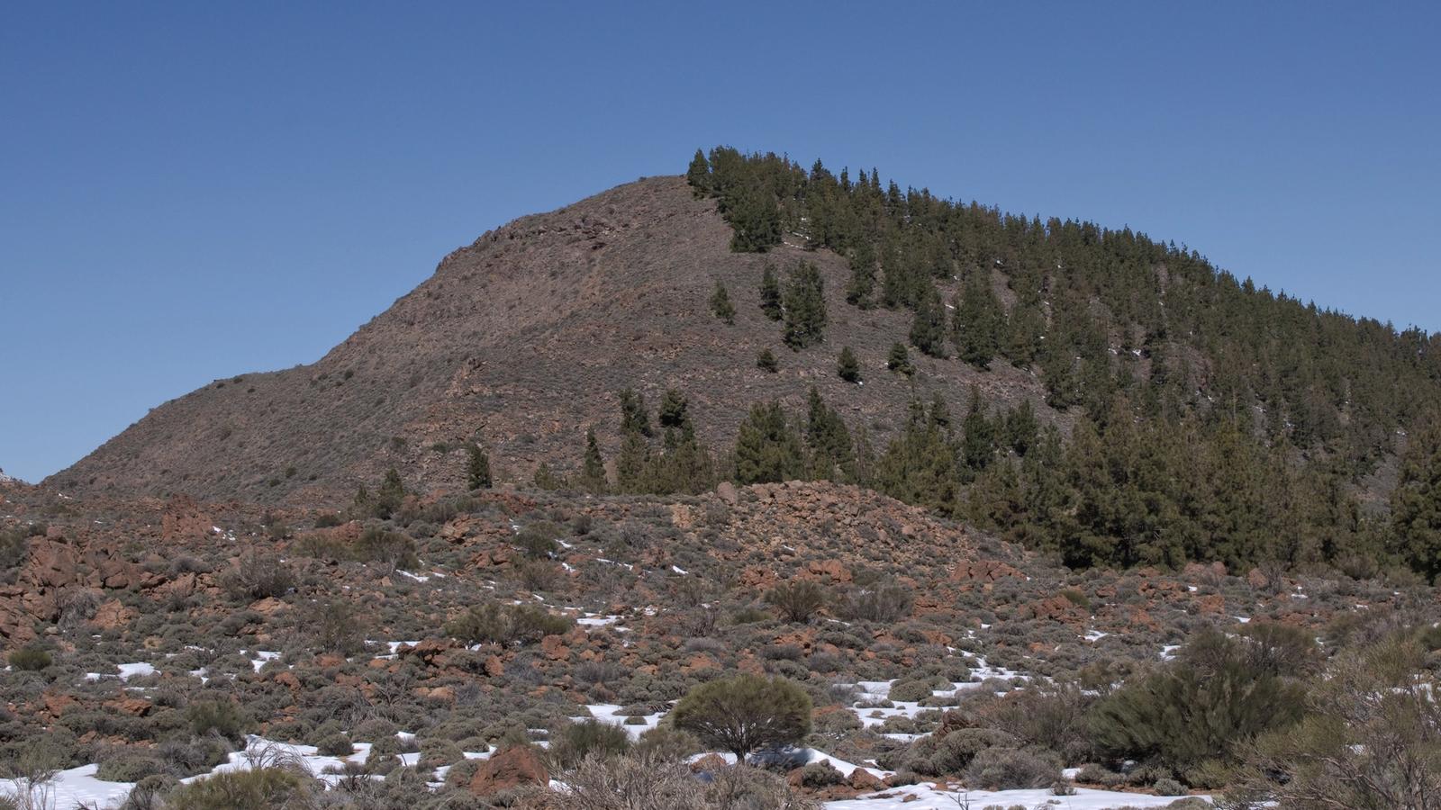
El Cabezón is a 2,177-metre mountain on the northern rim of Las Cañadas near El Portillo and La Fortaleza in Teide National Park.
- Northern rim of Las Cañadas
- About 2,177 m above sea level
- Volcanic scenery near El Portillo and La Fortaleza
About this place
El Cabezón is a mountain on the northern rim of the Las Cañadas landscape, near El Portillo in Teide National Park. Standing at approximately 2,177 metres above sea level, it is part of the high-altitude volcanic scenery that makes Tenerife's central plateau so distinctive. Its rounded profile appears above the surrounding pumice, rock and sparse mountain vegetation.
The mountain lies near La Fortaleza and Cañada de los Guancheros, where the northern rim of the great volcanic depression meets landscapes influenced by the island's mountain climate. The contrast between dark rock, open high ground and distant views is a good subject for landscape photography, especially when visibility is clear.
El Cabezón is a natural landmark rather than a staffed attraction. It is useful for orienting yourself while exploring the El Portillo area and approved national-park paths; the named summit should not be confused with a signposted visitor-centre entrance or an official public route to its top.
Use Tenerife ON or national-park information to select open and permitted trails, and respect any access restrictions. The weather can be cold, windy and surprisingly changeable at this altitude, so bring warm layers, water and sun protection. The map pin represents the mountain, not a safe hiking start point.
Explore nearby La Fortaleza and Los Realejos for more local context and planning information.
Visitor information
High-mountain natural landmark, not a managed visitor site. Use approved park trails, verify access and weather on Tenerife ON, and never navigate straight to the summit from the map pin.
Location
Explore nearby
Places close to El Cabezón, sorted by distance.
La Fortaleza
Northern Tenerife
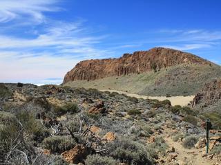
A dramatic mountain and rock wall at the northern edge of Teide National Park, reached in the wider area by official El Portillo hiking routes.
Teide & Central Tenerife
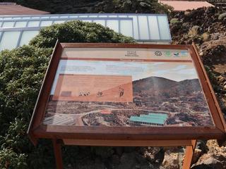
The main interpretation stop on Teide’s northeast side, with exhibits and nearby botanical displays focused on the national park’s volcanic landscape and high-altitude ecology.
El Portillo Botanical Garden
Teide & Central Tenerife
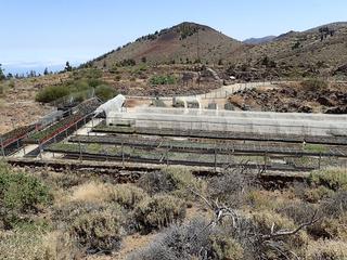
A high-altitude botanical garden inside Teide National Park dedicated to native flora, conservation and interpretation.
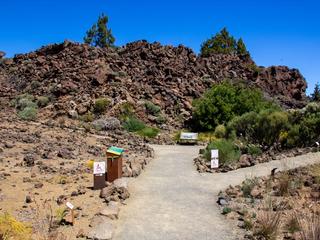
Garden of the El Portillo Visitor Center
Teide & Central Tenerife
A four-hectare botanical garden beside the El Portillo Visitor Centre, showcasing more than 75% of the higher-plant species found in Teide National Park.
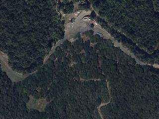
Chanajiga Recreation Area
Northern Tenerife
A forest picnic area above Los Realejos, with walking routes through the humid woodland on the slopes of Tigaiga.
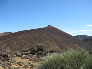
Montaña Mostaza Volcanic Cone
Teide & Central Tenerife
A compact volcanic cone in the Teide highlands that helps illustrate the many smaller vents surrounding the central summit complex.

Los Realejos
Northern Tenerife
Los Realejos is a town and a municipality in the northern part of the island of Tenerife, which is the biggest town in the Canary Islands. It is part of the province of Santa Cruz de Tenerife, Spain.
Northern Tenerife
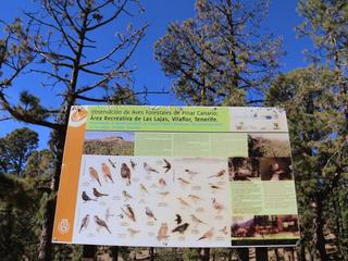
Barranco de Fuente Pedro is an officially designated camping area (zona de acampada) within Parque Natural de Corona Forestal, in the municipality of San Juan de la Rambla in northern Tenerife. It sits in a managed forest/natural setting typical of the island's authorised camping zones, which are overseen by the Cabildo de Tenerife. It is officially listed for tent and cabin camping. As with every zona de acampada in Tenerife, you need a free permit arranged in advance through the Cabildo (Tenerife ON), and stays are capped at a maximum of seven consecutive days. On-site facilities vary and are not guaranteed, so confirm current rules, availability and any fire or weather closures on the official channel before you travel.
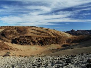
Mount Rajada
Teide & Central Tenerife
A volcanic mountain in the Las Cañadas depression near Montaña Blanca, with a dedicated official PNT 27 hiking route.
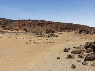
Minas de San José Viewpoint
Teide & Central Tenerife
A two-part roadside viewpoint at km 38.5 of the TF-21 in Teide National Park, across old open-cast workings where pumice was once extracted. One side looks at the lava flows of Montaña Rajada; the other looks out over the Las Cañadas caldera.
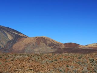
White Mountain (Montaña Blanca)
Teide & Central Tenerife
A pale volcanic mountain on Teide's eastern flank, noted for light-coloured deposits, dramatic high-altitude scenery and nearby hiking routes.
Northern Tenerife
Ramón Caminero is an officially designated camping area (zona de acampada) within Parque Natural de Corona Forestal, in the municipality of La Orotava in northern Tenerife. It sits in a managed forest/natural setting typical of the island's authorised camping zones, which are overseen by the Cabildo de Tenerife. It is officially listed for tent and cabin camping. As with every zona de acampada in Tenerife, you need a free permit arranged in advance through the Cabildo (Tenerife ON), and stays are capped at a maximum of seven consecutive days. On-site facilities vary and are not guaranteed, so confirm current rules, availability and any fire or weather closures on the official channel before you travel.
Related places
 Nature & Forests
La Fortaleza
A dramatic mountain and rock wall at the northern edge of Teide National Park, reached in the wider area by official El Portillo hiking routes.
 Towns & Villages
Los Realejos
Los Realejos is a town and a municipality in the northern part of the island of Tenerife, which is the biggest town in the Canary Islands. It is part of the province of Santa Cruz de Tenerife, Spain.