Teno & the West
Cruz de Hilda Viewpoint
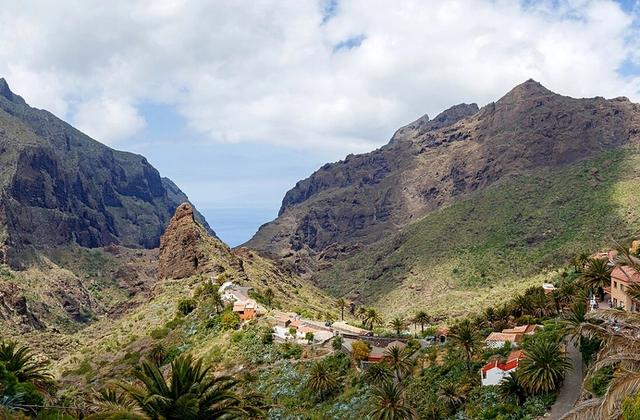
A Masca-area viewpoint in the heart of the ancient Teno massif, overlooking deep ravines and rugged mountain terrain.
About this viewpoint
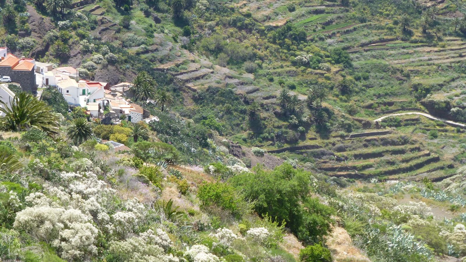
Cruz de Hilda Viewpoint looks across the dramatic ravines around Masca in the Teno massif. The setting reveals the deep erosion and steep relief that define Tenerife’s far west.
La Cruz de Hilda is a viewpoint on a winding route through the Teno mountains towards the hamlet of Masca. The lookout reveals the sharp ridges, deep ravines and compact village landscape that make western Tenerife so distinctive. It can form part of a drive linking other Teno viewpoints, but the narrow TF-436 mountain-road sections make parking and careful speed more important than fitting in every stop. Check local road restrictions and only stop in authorised spaces.
Visitor information
This viewpoint is in the Teno/Masca mountain area. Roads are steep and winding, so allow extra driving time, respect any temporary restrictions and use only legal parking.
Frequently asked questions
- In the Teno mountains on the approach towards Masca in western Tenerife.
Location
Explore nearby
Places close to Cruz de Hilda Viewpoint, sorted by distance.
Masca
Teno & the West
A remote mountain village set among the dramatic ridges and gorges of the Teno massif in north-west Tenerife.
Masca Visitor Centre
Teno & the West
The official visitor-information point in Masca village, useful for checking current access, local conditions and visitor guidance in the Teno massif.

Macizo de Teno
Teno & the West
The Teno massif (Spanish: Macizo de Teno) is one of three volcanic formations that gave rise to Tenerife, Canary Islands, Spain.

Las Lagunetas
Teno & the West
Discover Las Lagunetas, a hamlet in the Teno mountains near El Palmar and Las Portelas.
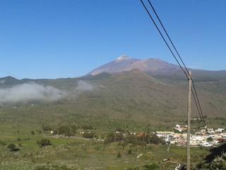
Cherfe Viewpoint
Teno & the West
A dramatic road viewpoint above Masca, looking across the Teno mountains and deep ravines toward the west coast.
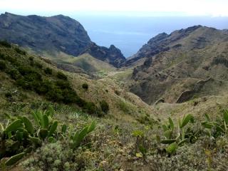
Cumbre de Baracán
Teno & the West
Explore Cumbre de Baracán, a high ridge above El Palmar Valley in Tenerife's Teno mountains.
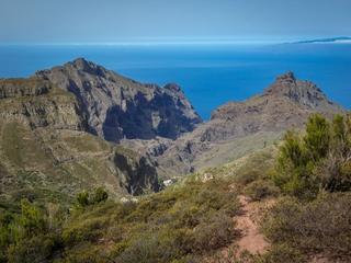
Teno & the West
The main visitor information centre for Teno Rural Park, located at Finca Los Pedregales in El Palmar.
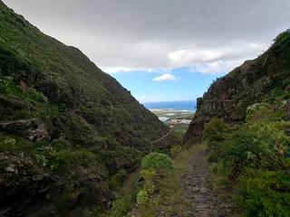
Monte del Agua Forest
Teno & the West
One of Teno’s most important forest landscapes, with laurel woodland, misty ridges and trails between the northwest mountains.
Teno & the West
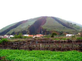
Los Pedregales is an officially designated camping area (zona de acampada) within Parque Rural de Teno, in the municipality of Buenavista del Norte in the Teno (north-west) Tenerife. It sits in a managed forest/natural setting typical of the island's authorised camping zones, which are overseen by the Cabildo de Tenerife. It is officially listed for tent and cabin camping. As with every zona de acampada in Tenerife, you need a free permit arranged in advance through the Cabildo (Tenerife ON), and stays are capped at a maximum of seven consecutive days. On-site facilities vary and are not guaranteed, so confirm current rules, availability and any fire or weather closures on the official channel before you travel.
Altos de Baracán Viewpoint
Teno & the West
A dramatic ridge viewpoint in Teno Rural Park on TF-436, overlooking Tenerife’s contrasting green and dry mountain slopes.

Santiago del Teide
Teno & the West
An inland mountain town in western Tenerife and a gateway to the winding TF-436 road towards Masca. The municipality also includes the coastal area around Los Gigantes.

Valle de Arriba
Teno & the West
Explore Valle de Arriba, a rural settlement in Santiago del Teide municipality, western Tenerife.