


 Nature
Anaga & Teno Nature Guide
A practical guide to Tenerife’s two ancient mountain massifs — Anaga’s laurel forest and Atlantic ridges, and Teno’s ravines, Masca and dramatic western coastline.
Read guideTeno & the West
The Teno massif (Spanish: Macizo de Teno) is one of three volcanic formations that gave rise to Tenerife, Canary Islands, Spain.
The Teno massif (Spanish: Macizo de Teno) is one of three volcanic formations that gave rise to Tenerife, Canary Islands, Spain. It is located in the northwestern part of the island between the towns of Santiago del Teide, Los Silos, El Tanque and Buenavista del Norte. The volcanic massif, emerged during the last 5 to 7 million years, is furrowed by deep ravines and ends abruptly in the sea, in an area known as Los Gigantes, a series of high cliffs that plummet over the sea. The villages known as Masca, Teno Alto, Los Carrizales, El Palmar, Las Portelas and Las Lagunetas preserve the old agricultural traditions of Canary Islands.
The Teno Rural Park has an area of 8063 hectares, and is characterised by basaltic lava flows and a plant and floristic diversity that varies widely with each insular microclimate. The zones known as Monte del Agua and Laderas del Baracán are renowned for their forests of laurel typical of the vegetation of Macaronesia. Euphorbia balsamifera and Carthamus lanatus, a variety of thistle, can be found in coastal areas.
The Punta de Teno is the westernmost promontory of Tenerife. It is an area renowned for its marine wild-life offering the best areas for diving. The European Union has designated the Macizo de Teno as a special area for the protection and conservation of the large colonies of pigeons that inhabit the laurel. Ospreys, hawks, kestrels and barbary falcons are also commonly sighted. The area also contains archaeological ruins, with the stone edifices belonging to the ancient Guanche inhabitants of the island.
Explore the surrounding area through Las Lagunetas. Each destination has its own visitor information.
Places close to Macizo de Teno, sorted by distance.
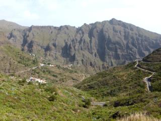
Teno & the West
The official visitor-information point in Masca village, useful for checking current access, local conditions and visitor guidance in the Teno massif.
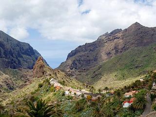
Teno & the West
A remote mountain village set among the dramatic ridges and gorges of the Teno massif in north-west Tenerife.
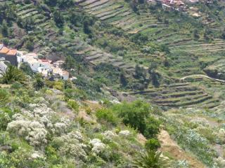
Teno & the West
A Masca-area viewpoint in the heart of the ancient Teno massif, overlooking deep ravines and rugged mountain terrain.
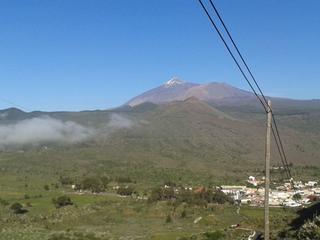
Teno & the West
A dramatic road viewpoint above Masca, looking across the Teno mountains and deep ravines toward the west coast.

Teno & the West
An inland mountain town in western Tenerife and a gateway to the winding TF-436 road towards Masca. The municipality also includes the coastal area around Los Gigantes.

Teno & the West
Discover Las Lagunetas, a hamlet in the Teno mountains near El Palmar and Las Portelas.

Teno & the West
Visit El Molledo, a small village in Santiago del Teide, western Tenerife.
Teno & the West
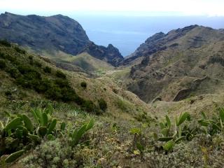
Explore Cumbre de Baracán, a high ridge above El Palmar Valley in Tenerife's Teno mountains.

Teno & the West
Discover El Retamar in Santiago del Teide municipality, western Tenerife.

Teno & the West
Discover Tamaimo, a traditional village in Santiago del Teide, western Tenerife.

Teno & the West
Explore Valle de Arriba, a rural settlement in Santiago del Teide municipality, western Tenerife.
Teno & the West
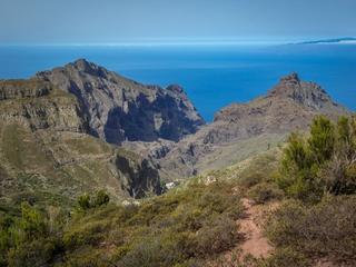
The main visitor information centre for Teno Rural Park, located at Finca Los Pedregales in El Palmar.