
Teno & the West
Altos de Baracán Viewpoint
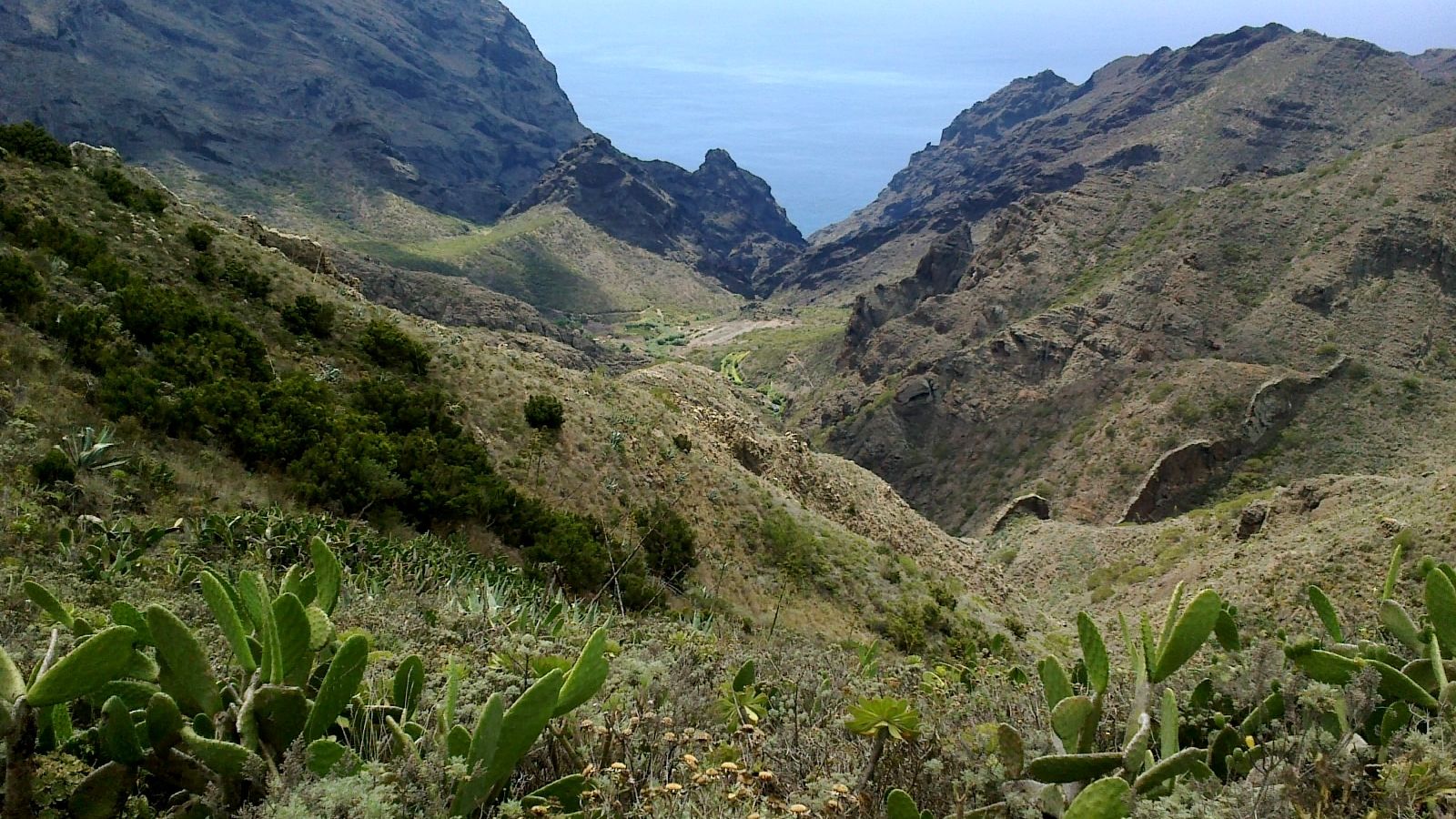
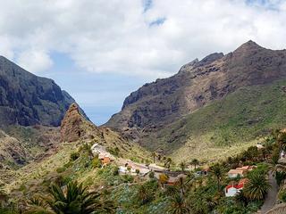
A dramatic ridge viewpoint in Teno Rural Park on TF-436, overlooking Tenerife’s contrasting green and dry mountain slopes.
About this viewpoint
Altos de Baracán Viewpoint lies along the scenic TF-436 mountain road in Teno Rural Park, in western Tenerife. It is particularly valued for the sharp contrast between greener, moisture-catching slopes and the drier landscape on the opposite side of the ridge.
From the lookout, visitors can appreciate the deeply cut Teno mountains and changing cloud patterns that shape this part of Tenerife. Conditions often differ considerably from the sunny beaches below, so visibility can be excellent one moment and obscured by mist the next.
The viewpoint makes a logical stop when travelling between the Santiago del Teide, Masca and El Palmar/Las Portelas areas. The road is narrow and winding, and the surrounding landscape is rural and sensitive to visitor pressure.
Only stop where safe and legally permitted, and do not walk into traffic or across unmarked slopes for a photograph. Check road restrictions before travelling. An exact entrance or roadside stopping GPS has not been independently verified for this Sanity record, so no coordinates have been invented.
For other places to include in this part of your Tenerife trip, explore Teno Rural Park and Garachico.
Visitor information
Travel via the winding TF-436 and use only marked safe stopping areas. Expect sudden cloud or wind and check road access before a scenic drive.
Location
Explore nearby
Places close to Altos de Baracán Viewpoint, sorted by distance.
Teno & the West
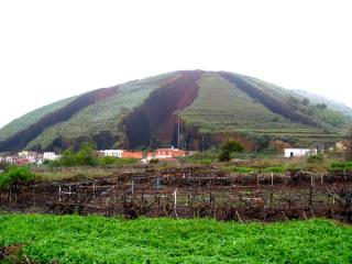
Los Pedregales is an officially designated camping area (zona de acampada) within Parque Rural de Teno, in the municipality of Buenavista del Norte in the Teno (north-west) Tenerife. It sits in a managed forest/natural setting typical of the island's authorised camping zones, which are overseen by the Cabildo de Tenerife. It is officially listed for tent and cabin camping. As with every zona de acampada in Tenerife, you need a free permit arranged in advance through the Cabildo (Tenerife ON), and stays are capped at a maximum of seven consecutive days. On-site facilities vary and are not guaranteed, so confirm current rules, availability and any fire or weather closures on the official channel before you travel.
Cumbre de Baracán
Teno & the West
Explore Cumbre de Baracán, a high ridge above El Palmar Valley in Tenerife's Teno mountains.
Teno & the West
The main visitor information centre for Teno Rural Park, located at Finca Los Pedregales in El Palmar.

Teno Alto
Teno & the West
Explore Teno Alto, a remote village in the mountains of Buenavista del Norte, western Tenerife.

Las Lagunetas
Teno & the West
Discover Las Lagunetas, a hamlet in the Teno mountains near El Palmar and Las Portelas.
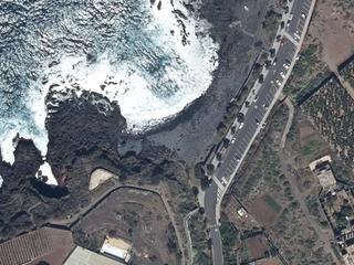
Las Arenas Beach, Buenavista
Teno & the West
A dark pebble beach on Buenavista del Norte’s coast road. Black sand can collect in summer and wash away again in winter.

Buenavista del Norte
Teno & the West
Buenavista del Norte is a municipality and town on the north west coast of Tenerife, located on route TF42, about 75 km west of the capital Santa Cruz de Tenerife, 65 km from Tenerife North Airport and 66 km from Tenerif…
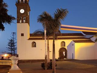
Teno & the West
Buenavista del Norte’s principal historic church, forming a key part of the town’s traditional civic and religious centre.
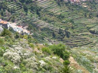
Cruz de Hilda Viewpoint
Teno & the West
A Masca-area viewpoint in the heart of the ancient Teno massif, overlooking deep ravines and rugged mountain terrain.
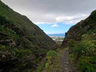
Monte del Agua Forest
Teno & the West
One of Teno’s most important forest landscapes, with laurel woodland, misty ridges and trails between the northwest mountains.
Masca
Teno & the West
A remote mountain village set among the dramatic ridges and gorges of the Teno massif in north-west Tenerife.

Taco Mountain Reservoir
Teno & the West
Explore Montaña de Taco, an extinct volcano whose crater has been used as an agricultural reservoir.