

 Planning
North vs South Tenerife
A practical comparison of north and south Tenerife — climate, beaches, towns, scenery, nightlife and which side works best for different kinds of trips.
Read guideNorthern Tenerife · Garachico
A beautifully preserved former Atlantic trading port reshaped by the 1706 volcanic eruption, with historic streets, old harbour remains and lava-formed sea pools.
Garachico grew into one of Tenerife’s most important ports during the 16th and 17th centuries. Sugar and wine left from its harbour for markets in Europe and the Americas, while imported goods and artworks helped create a prosperous town of churches, convents, merchant houses and warehouses.
That commercial era changed abruptly on 5 May 1706, when lava flows reached Garachico and buried much of the old harbour. The eruption ended the town’s dominance as a major port and began a long economic decline, but the rebuilt settlement retained an unusually rich historic core.
The old harbour area still tells the story of the town’s trading past. Puerta de Tierra preserves a surviving entrance associated with the historic port, while the later old quay and basalt masonry show how maritime activity continued after the eruption.
Along the waterfront, volcanic lava created the natural pools of El Caletón. They are one of Garachico’s best-known sights, but swimming depends on sea conditions: the north coast can be powerful, so treat the pools as a landscape stop first and a swimming stop only when local conditions are suitable.
Explore nearby Drago Milenario and La Orotava for more local context and planning information.
Year-round; calm seas are needed to swim in the rock pools
2–3 hours
Allow 2–3 hours for the historic centre and waterfront. The town is compact enough to explore on foot. If you plan to use El Caletón, check sea conditions locally before entering the water; rough Atlantic conditions can make the pools unsafe.
Places close to Garachico, sorted by distance.
Northern Tenerife
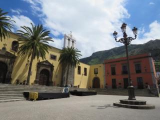
A former Franciscan convent in central Garachico that forms part of the town’s historic civic and religious core.
Northern Tenerife
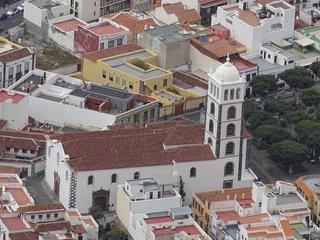
Garachico’s principal historic church, closely tied to the town’s pre-eruption prosperity and reconstruction after the 1706 volcanic disaster.
Northern Tenerife
Garachico's historic main church beside Plaza de la Libertad, closely associated with the town's heritage and reconstruction after 1706.
Northern Tenerife
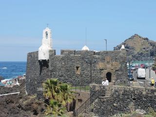
A 16th-century coastal fortress built to defend Garachico’s wealthy harbour and surviving as one of the clearest reminders of the town’s trading age.
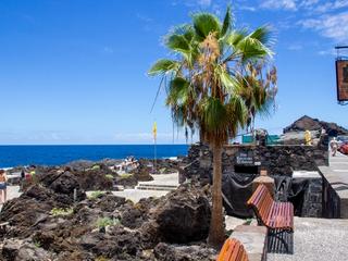
Northern Tenerife
Garachico’s coastal lava pools, formed in the landscape reshaped by the 1706 eruption.
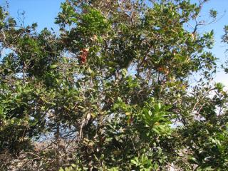
Northern Tenerife
A dramatic fossil sea-cliff landscape above Tenerife’s northwest coast, combining geology, rural terraces and thermophilous vegetation.
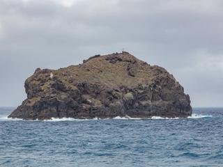
Northern Tenerife
The iconic offshore rock facing Garachico, a protected volcanic islet important for seabirds, migration and the town’s coastal identity.
Northern Tenerife
A steep protected volcanic islet offshore from Garachico, best admired from safe seafront viewpoints.
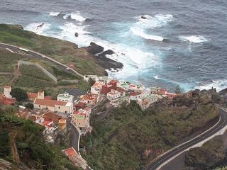
Northern Tenerife
A historic church in the Garachico area linked to the old settlement of San Pedro de Daute and the early development of northwestern Tenerife.
Northern Tenerife
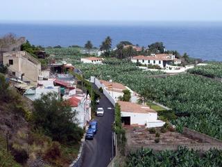
A viewpoint over Garachico’s rugged coast, Roque de Garachico and the volcanic shoreline of northwestern Tenerife.

Northern Tenerife
El Tanque is a town and a municipality in the northwestern part of the island of Tenerife, one of the Canary Islands, and part of the province of Santa Cruz de Tenerife, Spain.

Northern Tenerife
A western-north viewpoint between El Tanque and Tierra del Trigo with views toward Isla Baja, Garachico and the coast.
 Family AttractionsTickets
Tenerife’s most famous dragon tree, standing in a botanical park beside the historic centre of Icod de los Vinos.
 Museums & CultureTickets
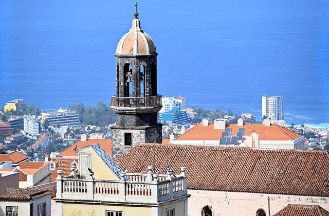
A preserved historic hillside town shaped by Taoro’s Guanche past, post-conquest estates, water mills and centuries of wine wealth in the Orotava Valley.
PlanningA practical comparison of north and south Tenerife — climate, beaches, towns, scenery, nightlife and which side works best for different kinds of trips.
Read guide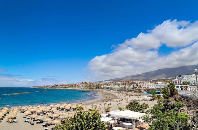 South Tenerife
The best day trips from Costa Adeje, Los Cristianos and Playa de las Américas — Teide, Masca, Los Gigantes, Anaga, historic towns, north Tenerife and La Gomera.
Read guide Planning
Fifteen places that show Tenerife at its best — Teide, Anaga, historic towns, Masca and Los Gigantes, north-coast gems, South Tenerife, beaches and family highlights.
Read guide