
Northern Tenerife
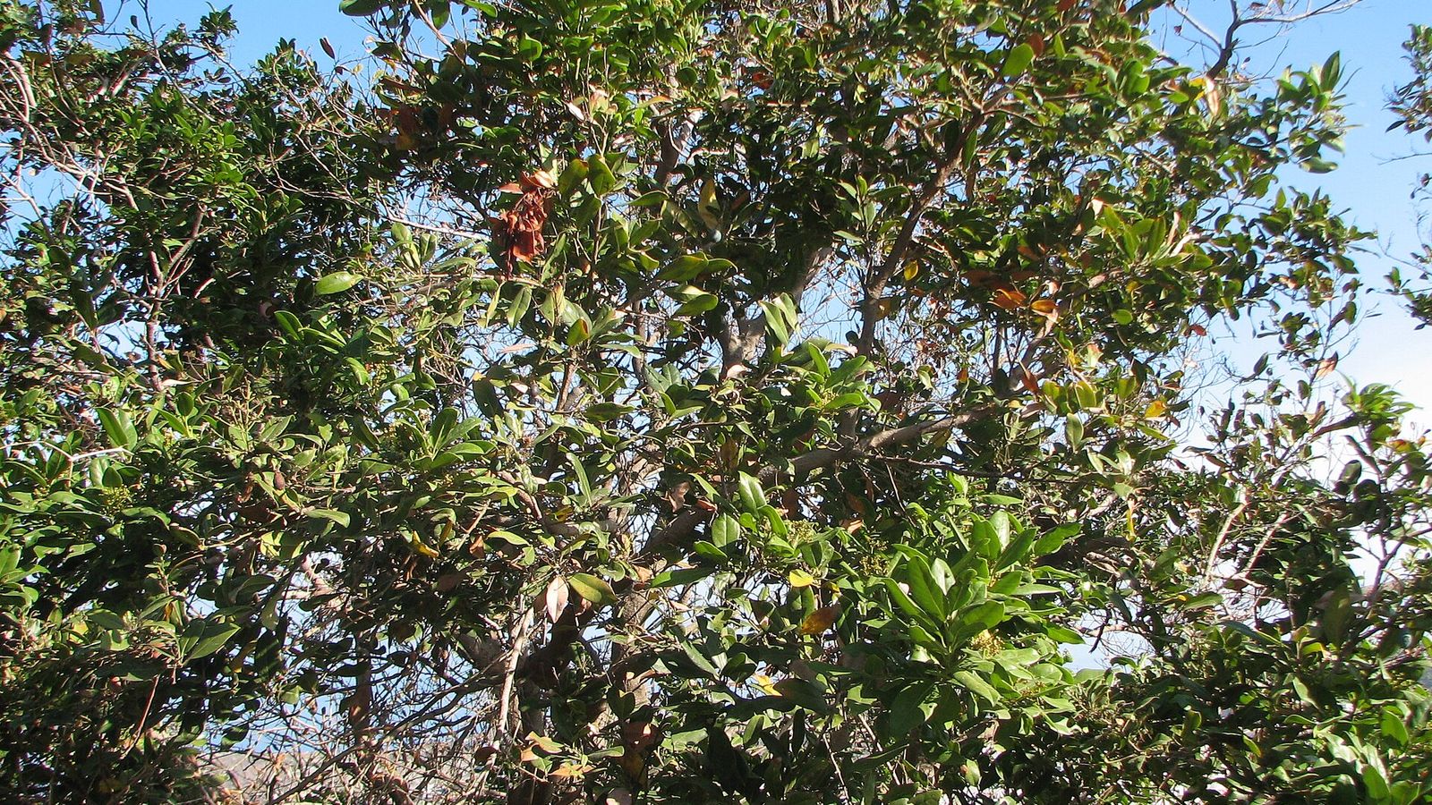
La Culata Cliffs Protected Landscape
A dramatic fossil sea-cliff landscape above Tenerife’s northwest coast, combining geology, rural terraces and thermophilous vegetation.
About this viewpoint
The La Culata Cliffs form a broad protected escarpment across the northwest of Tenerife. The cliffs preserve an ancient marine edge now raised above the present shoreline, making the landscape especially valuable for reading the island’s geological history.
Traditional rural land use survives on gentler sections, while native thermophilous vegetation occupies rocky slopes and inaccessible ledges. The area creates a strong visual backdrop to Garachico, El Tanque, Los Silos and Icod de los Vinos.
Visitor information
Use established viewpoints and roads such as the TF-421 and TF-42 corridor. Do not approach unstable cliff edges or enter private agricultural land.
Location
Explore nearby
Places close to La Culata Cliffs Protected Landscape, sorted by distance.
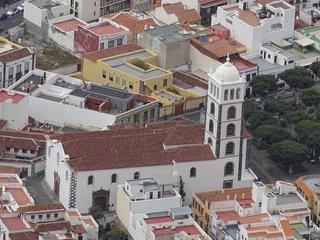
Church of Santa Ana (Garachico)
Northern Tenerife
Garachico's historic main church beside Plaza de la Libertad, closely associated with the town's heritage and reconstruction after 1706.
Saint Anne Church, Garachico
Northern Tenerife
Garachico’s principal historic church, closely tied to the town’s pre-eruption prosperity and reconstruction after the 1706 volcanic disaster.
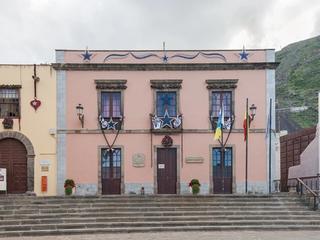
Garachico
Garachico · Northern Tenerife
A beautifully preserved former Atlantic trading port reshaped by the 1706 volcanic eruption, with historic streets, old harbour remains and lava-formed sea pools.
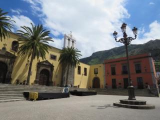
San Francisco Convent, Garachico
Northern Tenerife
A former Franciscan convent in central Garachico that forms part of the town’s historic civic and religious core.
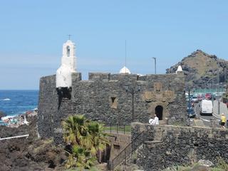
Castillo de San Miguel
Northern Tenerife
A 16th-century coastal fortress built to defend Garachico’s wealthy harbour and surviving as one of the clearest reminders of the town’s trading age.
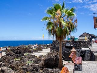
El Caletón Natural Pools
Northern Tenerife
Garachico’s coastal lava pools, formed in the landscape reshaped by the 1706 eruption.
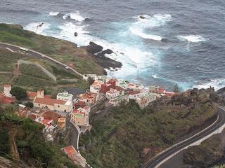
Saint Peter of Daute Church
Northern Tenerife
A historic church in the Garachico area linked to the old settlement of San Pedro de Daute and the early development of northwestern Tenerife.
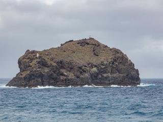
Garachico Rock Natural Monument
Northern Tenerife
The iconic offshore rock facing Garachico, a protected volcanic islet important for seabirds, migration and the town’s coastal identity.
Garachico Rock
Northern Tenerife
A steep protected volcanic islet offshore from Garachico, best admired from safe seafront viewpoints.
El Guincho Viewpoint
Northern Tenerife
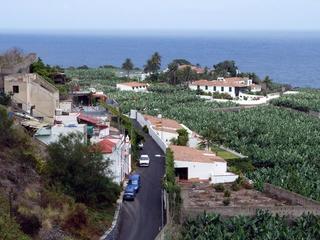
A viewpoint over Garachico’s rugged coast, Roque de Garachico and the volcanic shoreline of northwestern Tenerife.

El Tanque
Northern Tenerife
El Tanque is a town and a municipality in the northwestern part of the island of Tenerife, one of the Canary Islands, and part of the province of Santa Cruz de Tenerife, Spain.

Lomo Molino Viewpoint
Northern Tenerife
A western-north viewpoint between El Tanque and Tierra del Trigo with views toward Isla Baja, Garachico and the coast.