

Anaga
Pico del Inglés
A high Anaga viewpoint with dramatic green ridges, laurel forest and changing mountain cloud.
About this place
Pico del Inglés is a mountain and viewpoint area in the Anaga massif of northeastern Tenerife. It offers a high-level perspective on the island’s steep ridges and densely vegetated valleys.
The road and lookout setting are associated with the region’s characteristic laurel-forest landscapes. Cloud and mist can cover the summit unexpectedly, creating atmospheric conditions but sometimes hiding distant views entirely.
The site is especially appealing to visitors exploring Anaga by car and stopping at designated viewpoints. Its mountain setting should not be mistaken for an unrestricted invitation to hike across protected slopes.
Check road conditions and use only legal parking and viewing areas. Dress for cooler, damp conditions and never stand in the road for photographs. The existing coordinates denote the peak area, not a surveyed parking bay.
Explore the surrounding area through Cruz de Taborno and El Río (La Laguna). Each destination has its own visitor information.
Visitor information
Use designated roadside areas and check visibility. Mist, rain and winding roads require care; protected slopes are not general-access hiking terrain.
Location
Explore nearby
Places close to Pico del Inglés, sorted by distance.
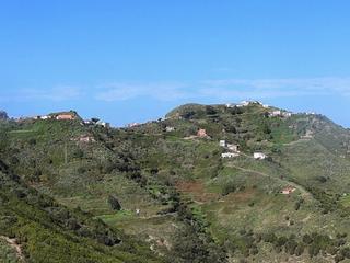
Cruz de Taborno
Anaga
Explore Cruz de Taborno in Anaga, a mountain summit around 1,020 metres high on Tenerife.
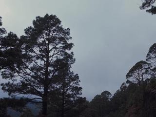
Anaga Rural Park
Anaga
Anaga Rural Park protects Tenerife’s northeast laurel forests, dramatic mountain ridges, traditional villages and coastal landscapes.

El Río (La Laguna)
Anaga
Discover El Río (Casas del Río), a rural Anaga hamlet in La Laguna municipality.
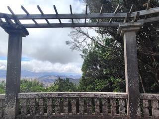
Cruz del Carmen Viewpoint
Anaga
A laurel-forest viewpoint and trail hub in Anaga Rural Park, with mountain scenery and walking options.

Taborno
Anaga
Explore Taborno, an Anaga mountain village with traditional dwellings and paths to Afur and Cruz del Carmen.
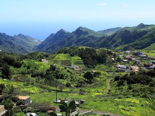
Jardina Viewpoint
Anaga
A scenic stop at the edge of Anaga with views back toward La Laguna and the green agricultural landscape below.

Las Carboneras
Anaga
Explore Las Carboneras, a traditional Anaga mountain hamlet with rural architecture and hiking trails.

Las Mercedes, Tenerife
Northern Tenerife
Explore Las Mercedes, an entrance to Anaga Rural Park near San Cristóbal de La Laguna.
Taborno Rock
Anaga
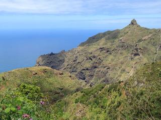
Discover Roque de Taborno, a distinctive 706-metre basaltic pillar overlooking Anaga's ravines.
Chinamada
Northern Tenerife
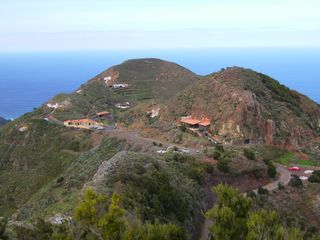
Chinamada es un caserío del macizo de Anaga perteneciente administrativamente al municipio de San Cristóbal de La Laguna en la isla de Tenerife —Canarias, España—.
Aguaide Viewpoint
Anaga
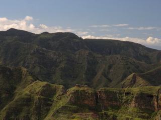
A spectacular viewpoint above the Anaga coast, reached from the Chinamada area and looking across deep ravines toward the Atlantic.

Los Valles
Santa Cruz & La Laguna
Discover Los Valles, a neighbourhood in San Cristóbal de La Laguna, Tenerife.
Related places
 Nature & Forests
Cruz de Taborno
Explore Cruz de Taborno in Anaga, a mountain summit around 1,020 metres high on Tenerife.
 Towns & Villages
El Río (La Laguna)
Discover El Río (Casas del Río), a rural Anaga hamlet in La Laguna municipality.
 Towns & Villages
Taborno
Explore Taborno, an Anaga mountain village with traditional dwellings and paths to Afur and Cruz del Carmen.